I’ve really been missing my 4WD since I relocated to the mainland for work in Easter. Whilst I do have access to a couple of them for work, I haven’t exactly been able to convince the boss that I need to travel to Coffs Harbour in a work vehicle for pleasure yet…..
Being that I can’t sit around for long without getting itchy feet, I decided to do something I used to hate for fun – pack march! Difference is they call it hiking, it’s a damn sight lighter, there’s no set pace and it was actually enjoyable. With an extended four day weekend, I decided to travel up to Red Rock (north of Coffs Harbour) to the start of the walk. In short you follow the coastline down to the Bonville Headland (Sawtell) only deviating from the beaches when you have no choice (headlands, tide etc). Direct route is 60 km’s, but reality is you will end up doing around 65 km’s due to diversions, attractions, the opportunity of a cold can of coke etc.
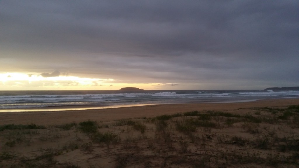
I departed Red Rock at Midday on the Friday
I got into the Sawtell Caravan Park at approximately 2030h on Saturday evening. 37 km’s for the day, with both days totaling around 65km’s. Keep in mind that I did this more as a fitness challenge than just as a walk. This would certainly be very enjoyable potting along in no rush, although I must say that camping options are basically nil unless you are willing to fork out your money. I stopped for 10 hours during the night stop, so it worked out at a rough average of 3km’s per hour. My pack was 20kg – I need to work out how to reduce that further, but water was a significant part – 5kg.
Would I do it again? Yep for sure.
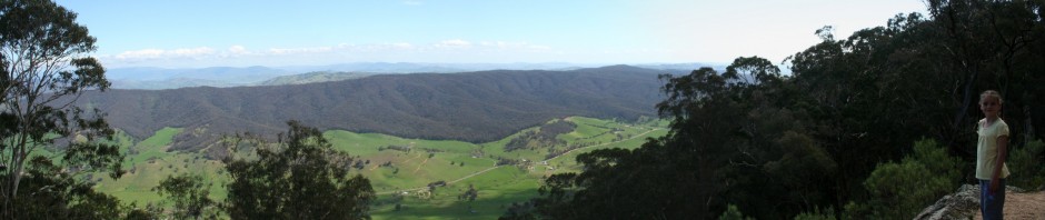
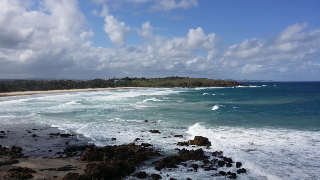
Looking back at Red Rock
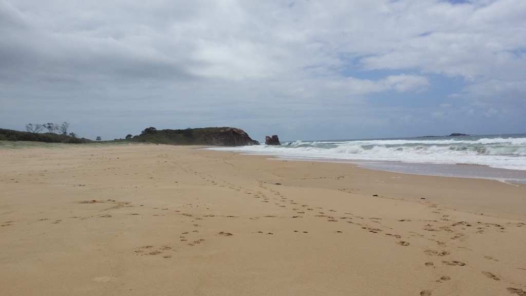
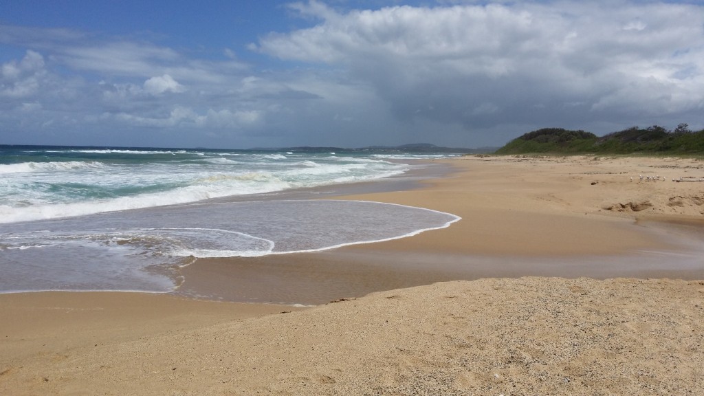
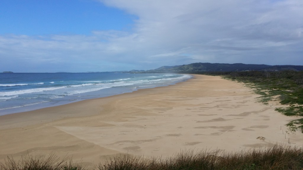
Looking forward – mmmm where’s the end of that beach…..
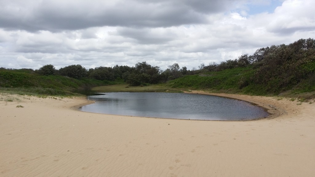
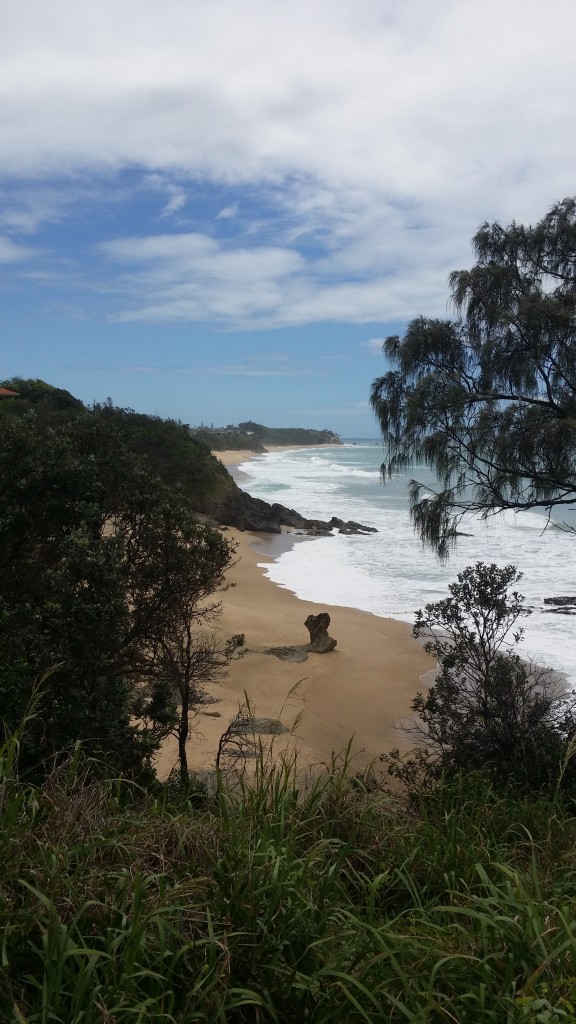
Hidden delight
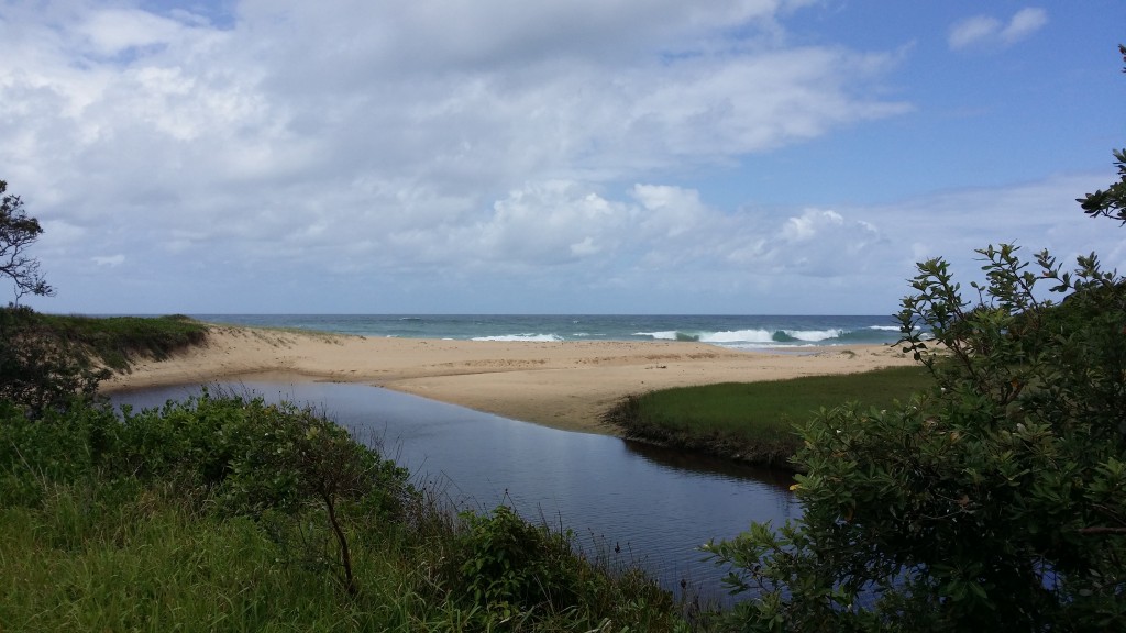
Turned into a great (late) lunch stop
Led to an overgrown grassed area with 2 tables – unfortunately it all was significantly damaged
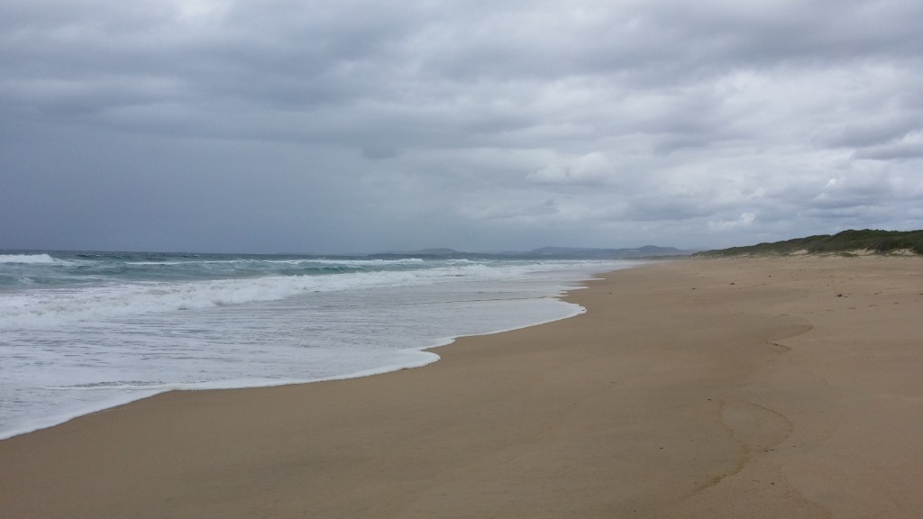
More beach – heading towards the Arrawarra Headland
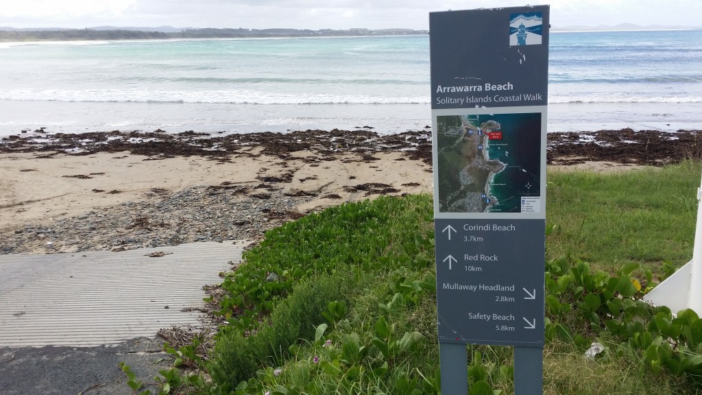
Arrawarra Beach – that’s 10 km’s done

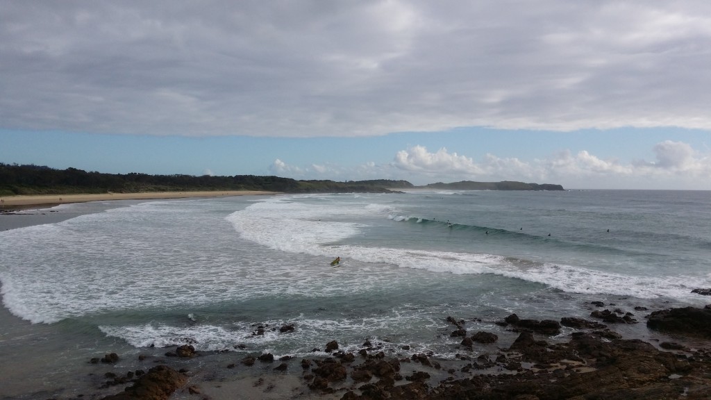
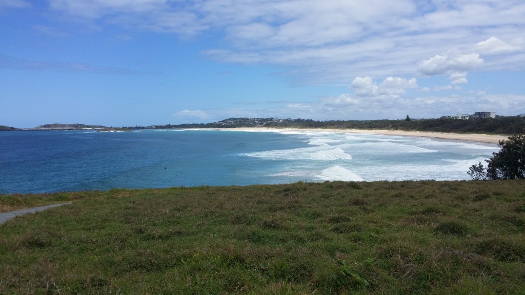
Arrawarra Headland – looks a popular spot for surfers
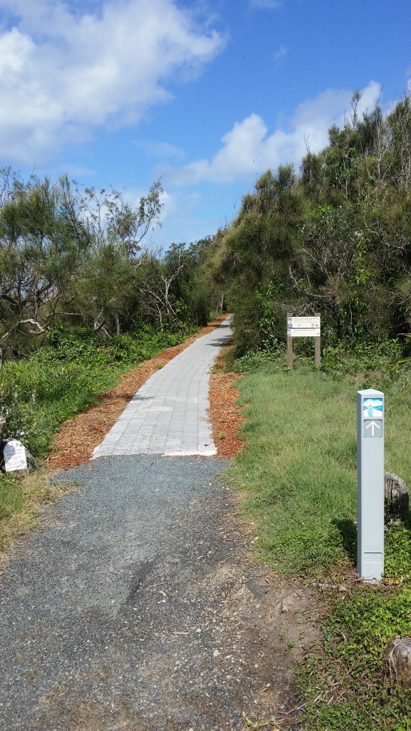
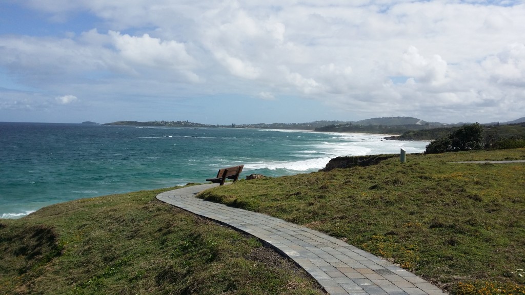
One of many places where a lot of work has gone into access to the headlands
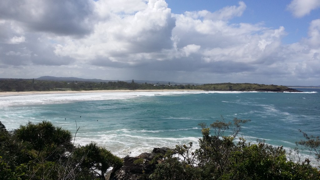
Looking back from the Arrawarra Headland from where I have come from
Looking towards where I am headed
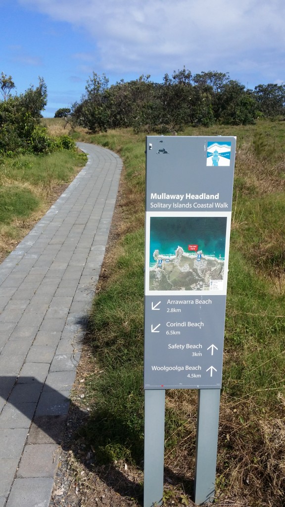
Mullaway Headland
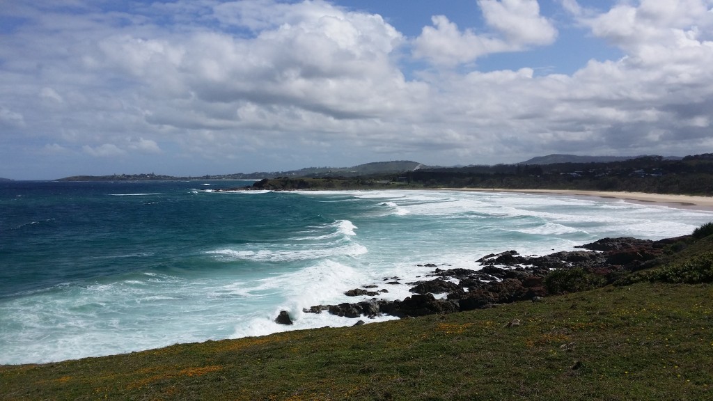
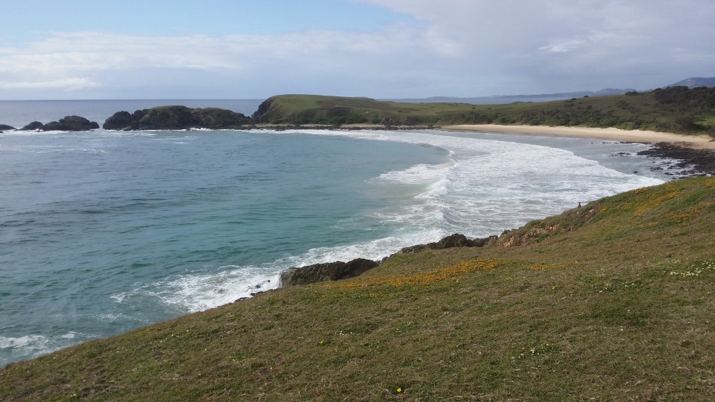
Ocean View Beach
What a view – I really was spoilt
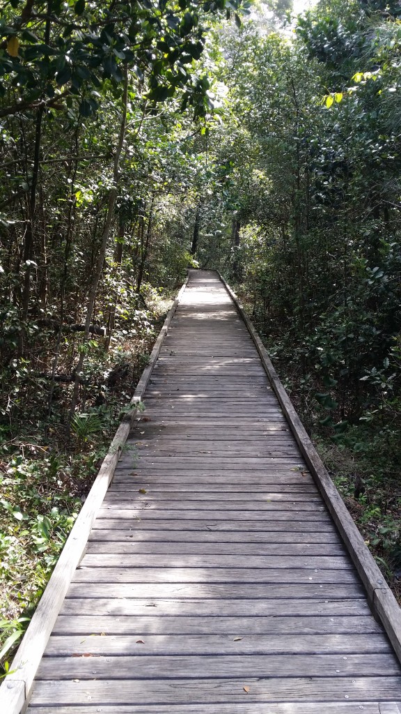
A relief from the sand
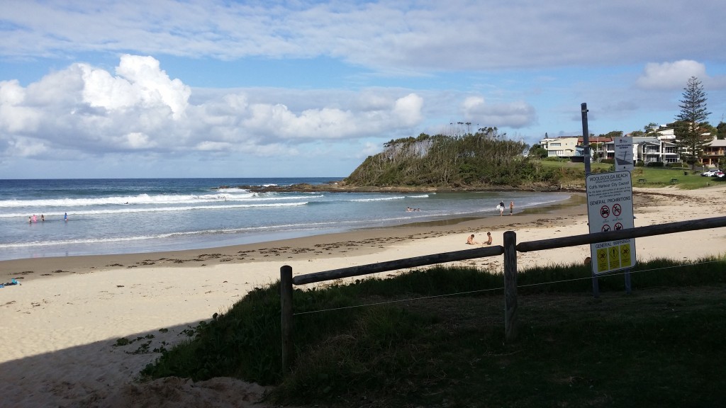
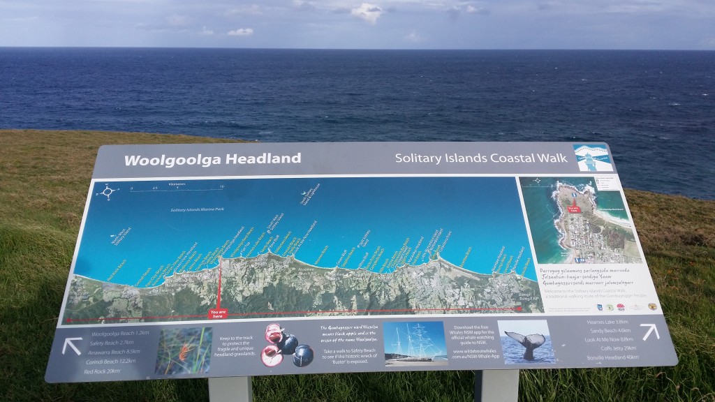
Woolgoolga – a welcome break. 16 km’s done
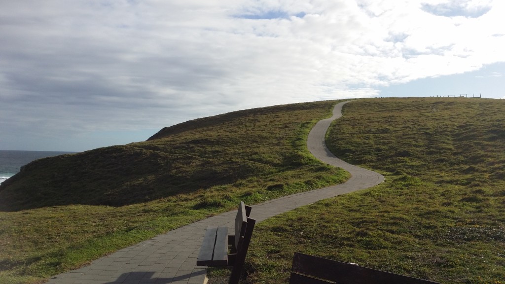
Again fantastic footpath on the headland at Woolgoolga
It was here that I realised that the sunscreen wasn’t quite doing the job.
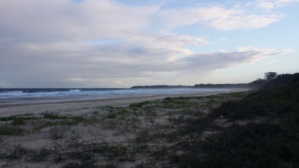
Moonee Beach Nature Reserve
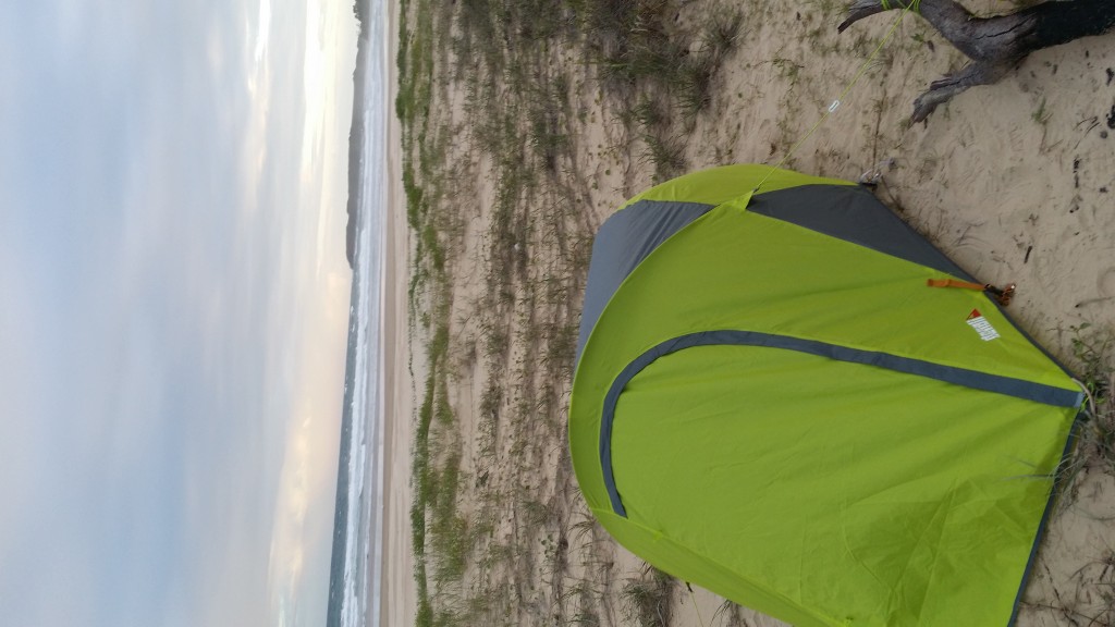
Time to put my feet up. 28 km’s for the day
Moonee Beach
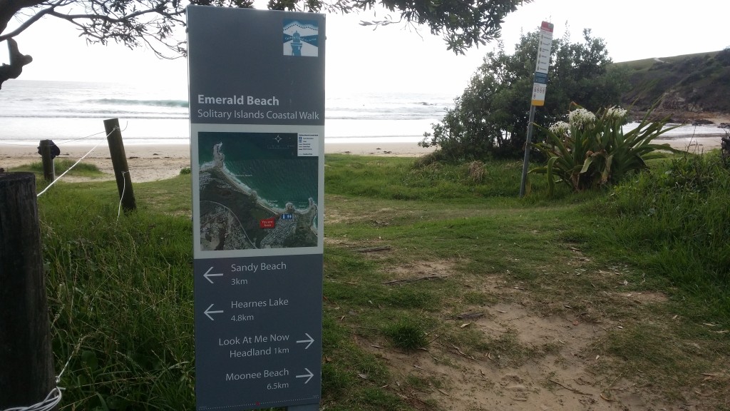
Emerald Beach – time for breakfast – 5km’s from camp
Emerald Beach
Shelley Beach and Look-At-Me-Now Headland
More beach
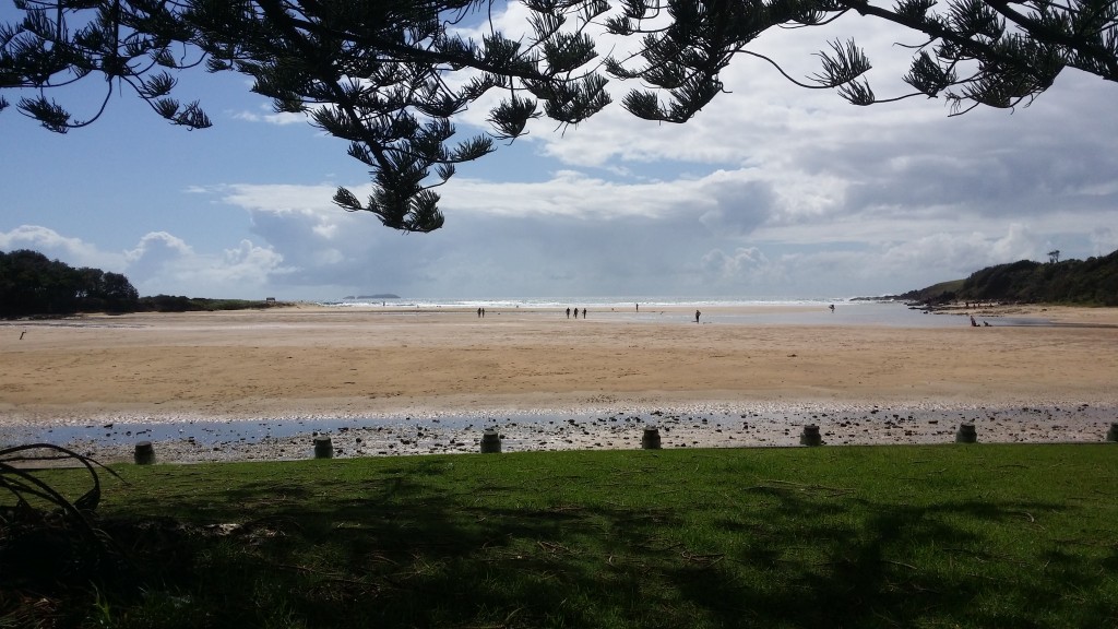
Moonee Beach – I managed to get across with the water only up to waist height. Wouldn’t be an option at high tide unless you ‘floated’ your pack
From memory this was somewhere near Rocks Beach. I had to take detours due to the tide
Looking towards Coffs Harbour / Park Beach
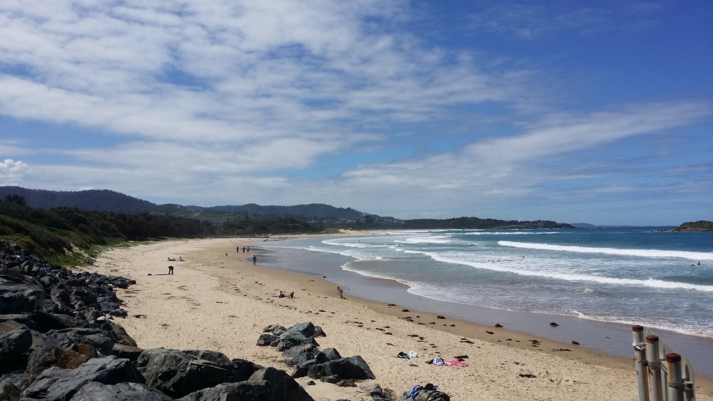
Park Beach – beautiful day weather wise, but damn I was feeling that sunburn

Surfers enjoying the water near the Coffs Jetty.

Coffs Jetty
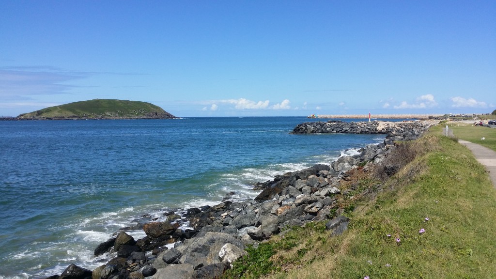
Muttonbird Island Nature Reserve in the distance
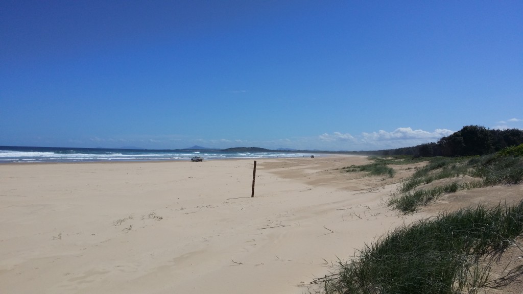
This beach nearly beat me. Soft sand due to the traffic, every footstep sunk in. 8 km’s of nothing but sand in the afternoon. I cannot begin to describe how good I felt when I reached the end
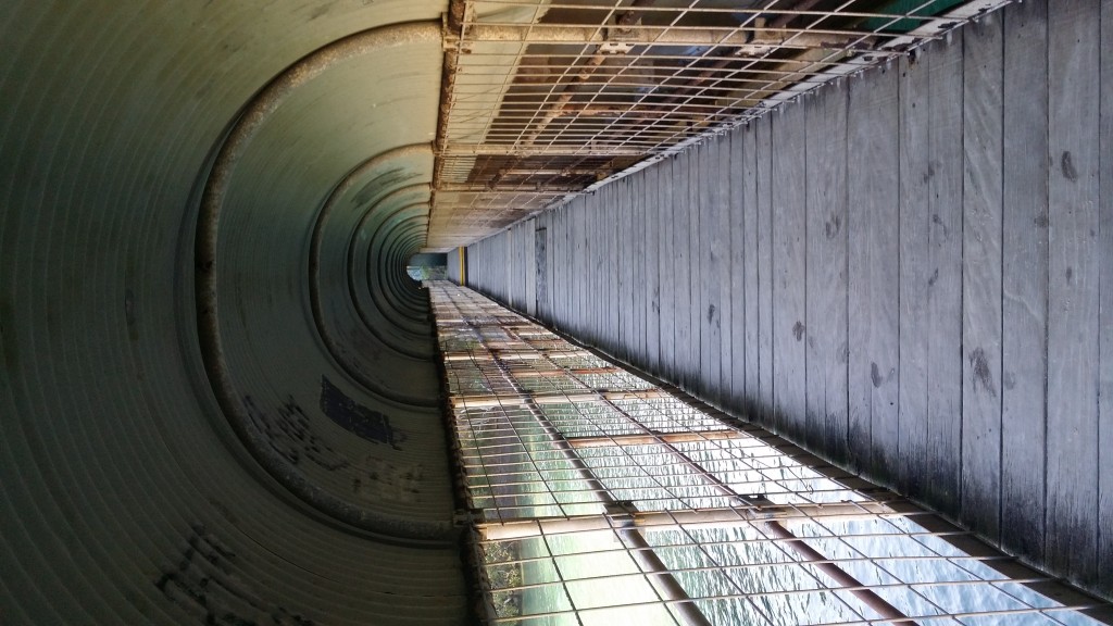
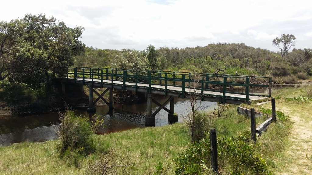
Boambee Creek crossing – under the railway track. Without this crossing you would be swimming.

Boambee Creek – very popular albeit not hard to see why

Sawtell Beach – thank God!
Â