So I came up with this plan that I’d go for a little bit of a walk along the coastline. Looking back I have no idea why I decided to do it, but hey it’s done now and I kinda enjoyed it too.
Bonny Hills is 24 km’s or a 25 minute drive (lots of roadworks, houses and assorted idiots on the road) south of Port Macquarie. Nice little coastal joint that’s great for a quite afternoon etc etc – kinda like half of the Australian coastline really. Now there’s also a surf lifesaving club – an ideal place to start something silly like this. So off I trundled north with nothing but sand ahead, and water to the right. I was actually smart this time – I only took my Camelbak which weighs around 4.5kg full.
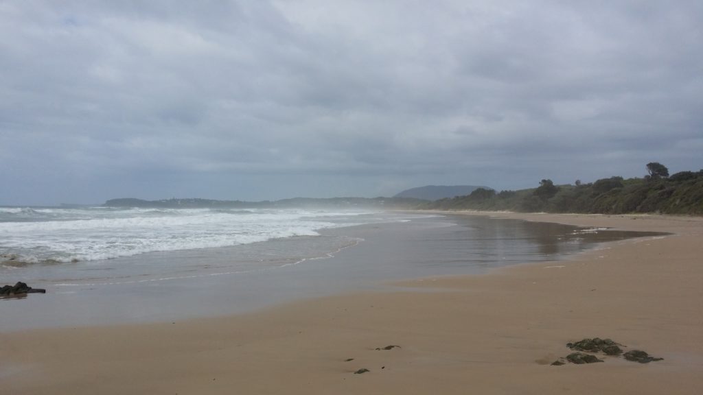
There really wasn’t much to report for the first 3 km’s. It is exactly as you imagine – well unless you come from Darwin – there wasn’t any snappy things to dodge. At the 3 km mark there is a little place called Middle Rock Point. In reality there’s nothing there other than the beach juts out 10 metres further east than the rest of the beach. Oh and the beach name now changes to Lighthouse Beach. 🙂
Looking back to where I started. Yep – that little headland in the distance.
Another 1700 metres up the beach they had opened up Cathie Creek to the ocean, so a quick detour around to the bridge was in order. This meant that I could swing up to the lookout to grab a couple of pictures.
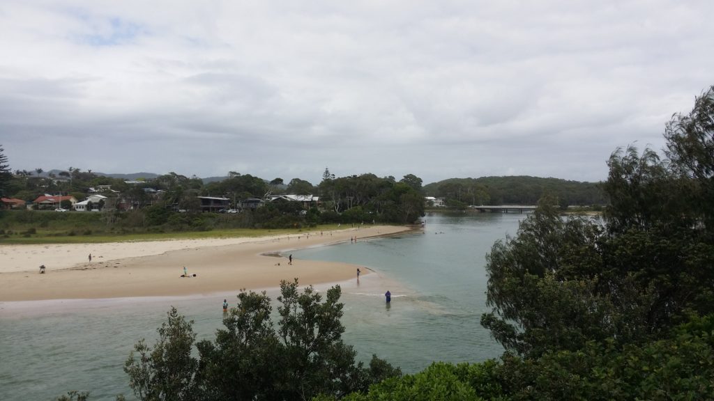
Looking inland. There’s a great place for the kids at Foreshore Reserve – swimming and play equipment.
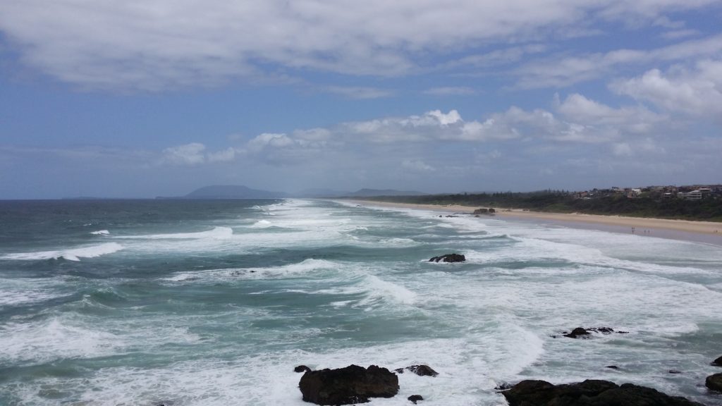
Open to the ocean.
So that was 6km’s done. I stopped whilst I was at the lookout for a quick snack and a drink – mainly to enjoy the view. Stepping off again I was surprised to find the next part of the coastline was mainly rock. The sand has washed away and left a real hard ‘patch-work’ black rock behind. It made for a nice change from the soft sand, but I wouldn’t like to be caught in it during high-tide.
The next 9km’s was basically all about clearing the mind and just walking. Like a lot of solitary beach walking, it leaves you with a lot of time to think. Sometimes its a good thing, other times it’s not such a good thing. Either way I potted along until I thought I was back at Cable Beach in the beautiful north-west of Western Australia.
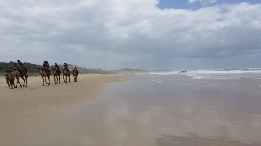
Camels!!!
I stopped and said G’day for Al – I had to do the right thing for a mate!
The last 2km’s of Lighthouse Beach was quite busy, as this is where the houses begin and easy access to the beach occurs. There’s also another lifesaving building located at this end. Climbing up the stairs to the Lighthouse itself reminded me of every step I had already taken. It was around 17km’s to this point. My original plan was to only come as far as the Lighthouse, but I was feeling really good at the time and decided to continue through the route I already know.
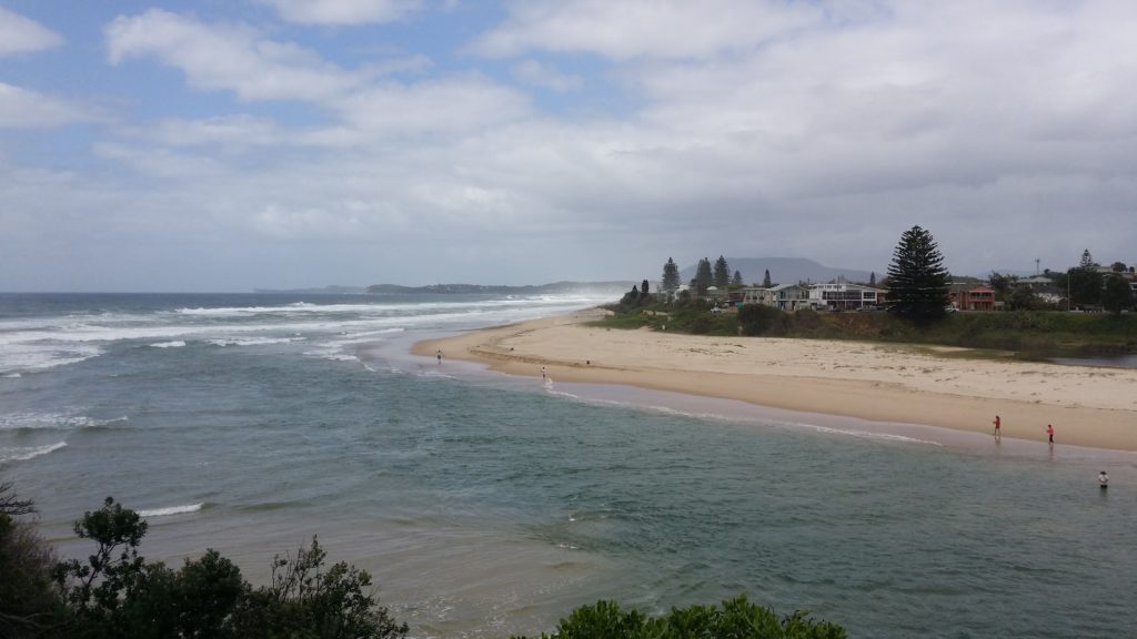
Lighthouse Beach
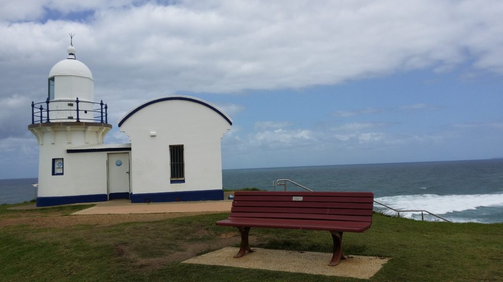
The Lighthouse itself
I’m lucky to do the Port Macquarie Coastal Walk quite often. It goes from the Tacking Point Lighthouse around to the city itself, following to coastline. Approximately 9km’s dropping into the beaches where possible, and climbing back up onto the headlands to skirt the rocks where it must.
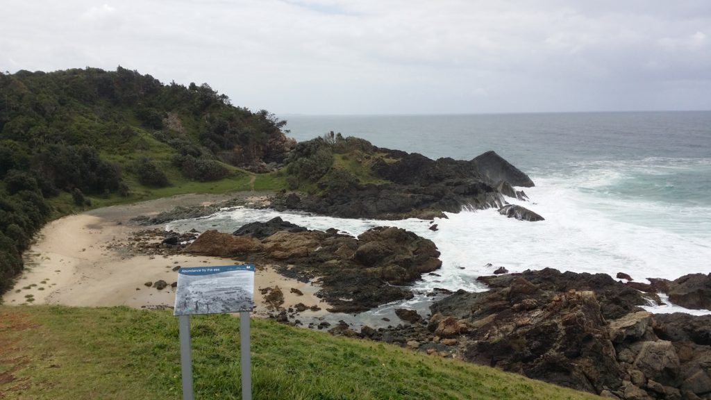
One of the many beaches along the route
I can’t remember how long it took me now, but I do remember being fairly happy with the walk itself. All up it was around 26km’s which filled in a part of the day quite nicely.
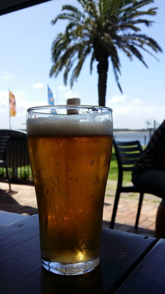
It bloody went down nice too!
Cheers
Chris