Day 6


The weather forecast was becoming favourable for heading inland so this was to be our last day on the coast. And it’d be a short one as well, albeit lots and lots to see.
Our night was interesting. A backpacker across from us didn’t know how to shut up until 0100h, then not long after a couple of possums and wombats got into our food boxes and tore a few of the contents apart (oops).
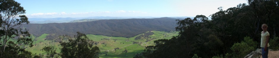
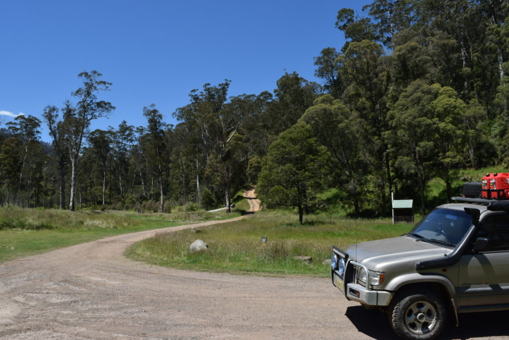
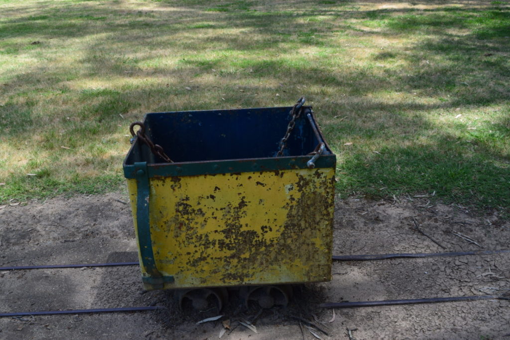
Anyway we had breakfast, I might have stirred a certain backpacker and then we packed up. The run back out of Wilsons Promontory was relatively painless until Ellie decided that a toilet break needed to occur. So we detoured to Yanakie Beach


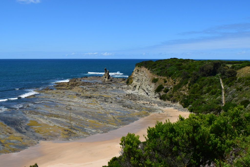
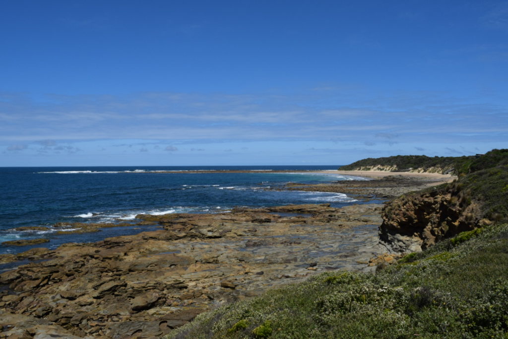
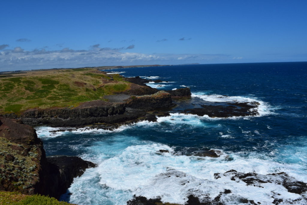
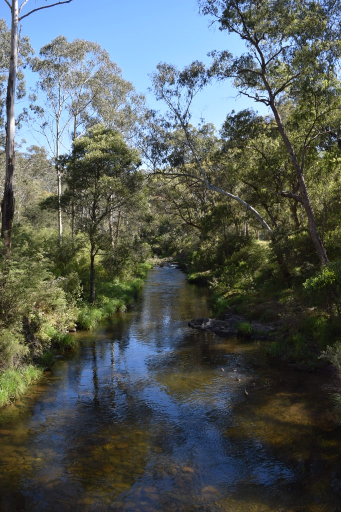
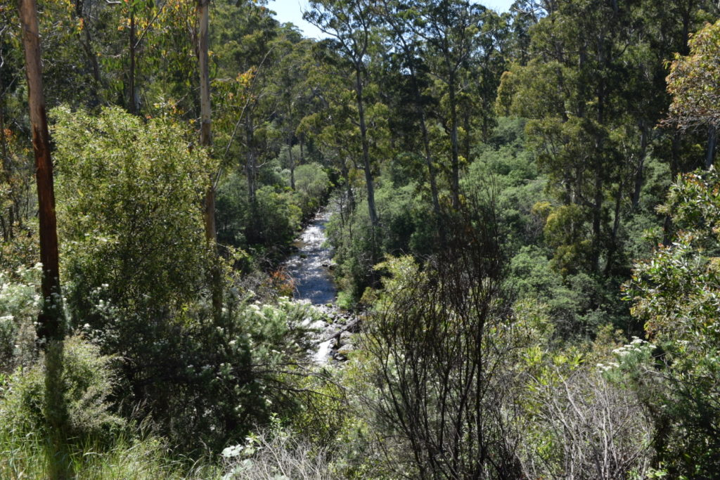
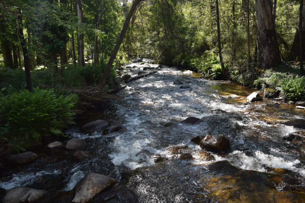
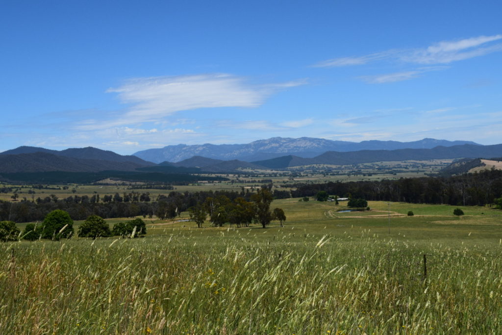
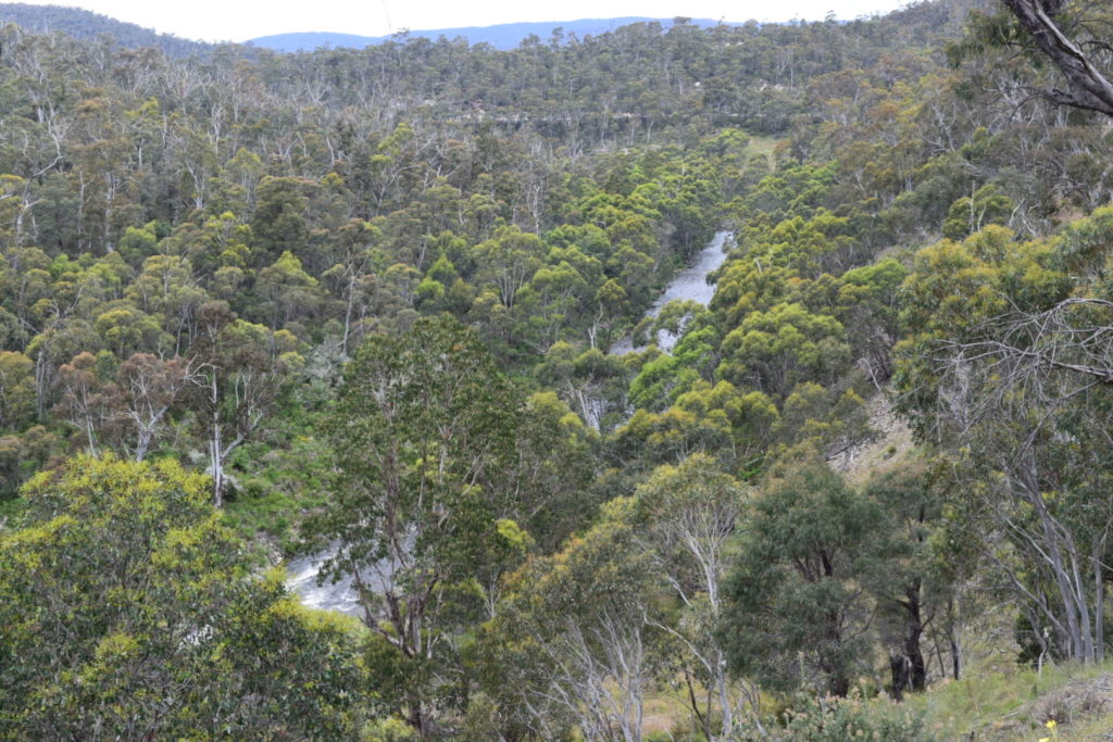
We continued around the coast to Inverloch and I have to say that the drive from there to Cape Paterson was bloody spectacular.


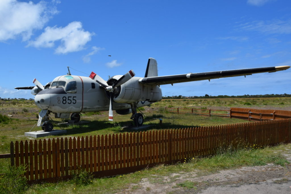
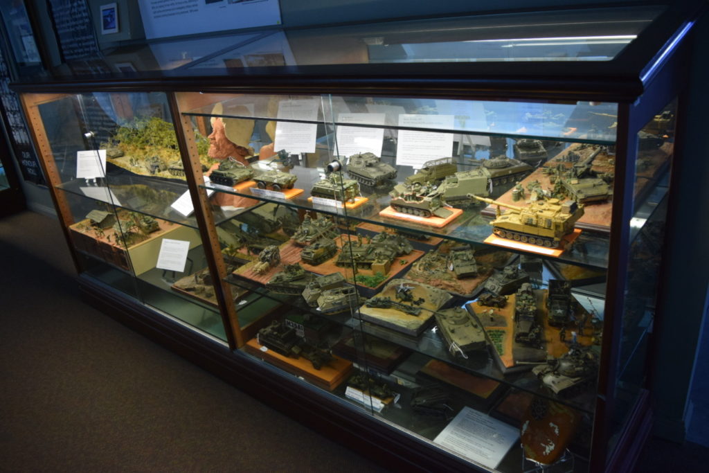
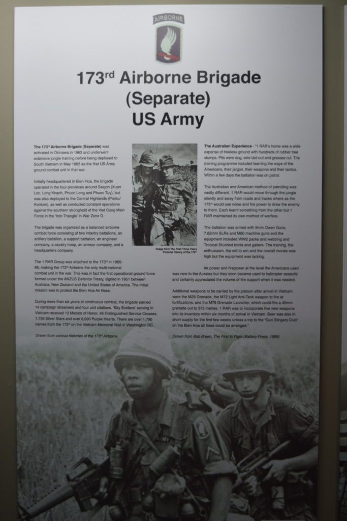
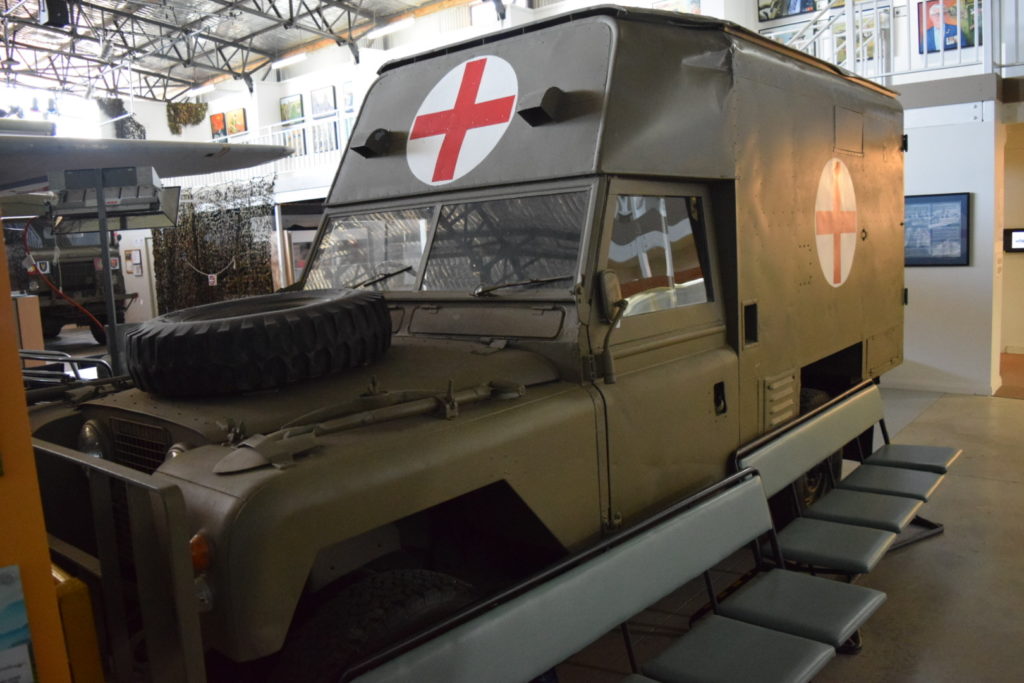
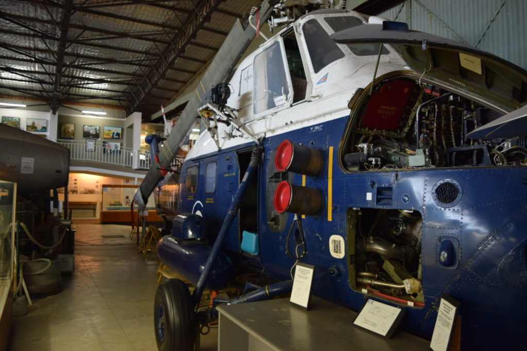
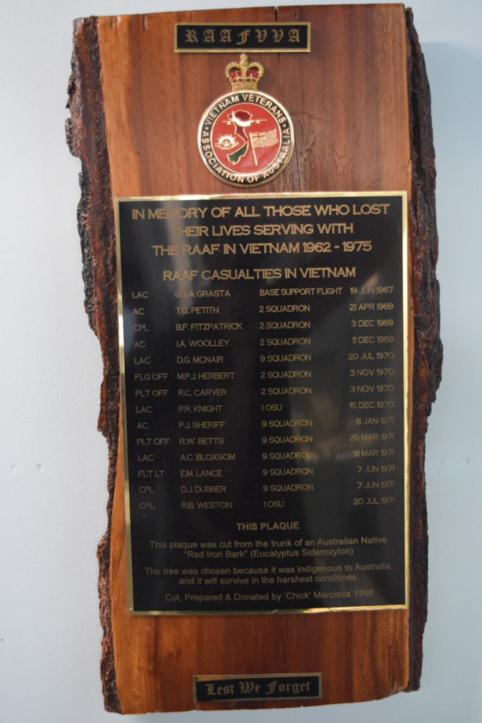
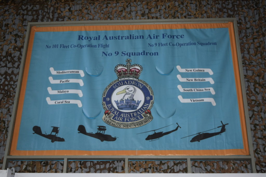
Our first stop at Phillip Island was the National Vietnam Veterans Museum. Lunch and a wander around took care of a couple of hours, but it easily could have been longer. Definitely worth a visit


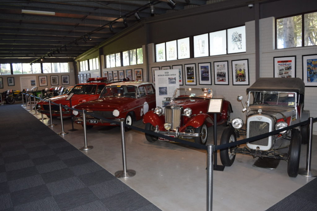
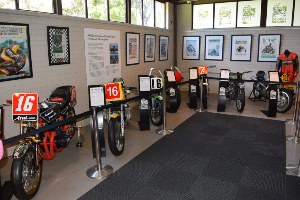
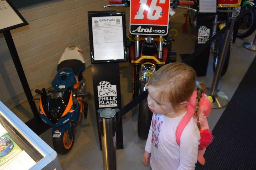
Our second stop was the Phillip Island Grand Prix Circuit


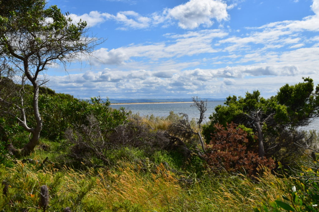
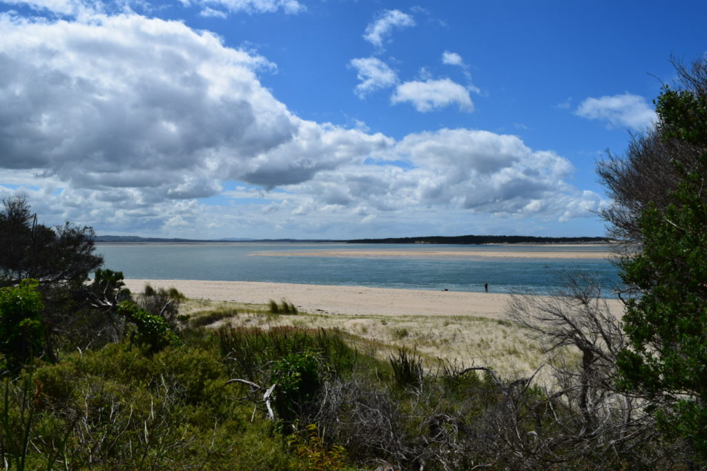
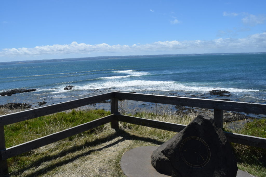
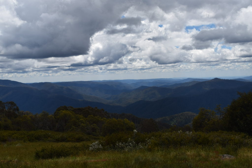
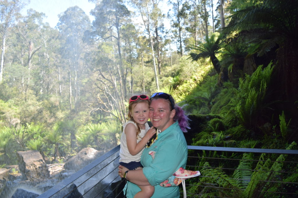
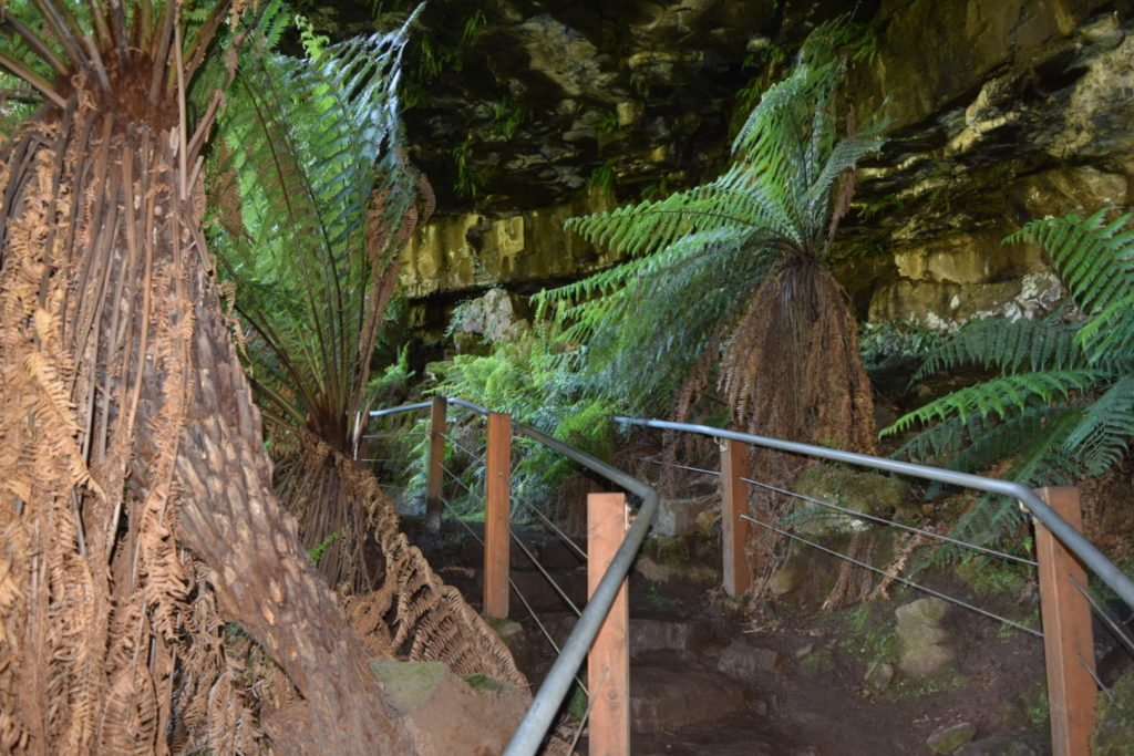
The views out on the southern point were well worth each stop. Unfortunately Nobbies Centre was closed to visitors on that day.


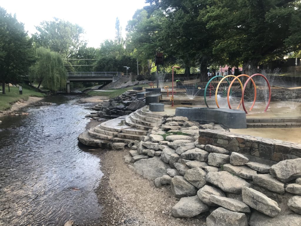
We headed back to Cowes and enjoyed a cold drink prior to wandering along the water to Cowes Jetty.


We checked in to the campground, set up the swag, had some dinner and then we went to see the Penguin Parade. The wind made for a very cool viewing but it was definitely worth it. Ellie had the time of her life watching them, then being able to walk along following them through the dunes. No pictures as you aren’t allowed but I can say it is worth it despite the cost.
We did 223km’s with an average moving speed 55.74km/h. Climbed 1975 metres and descended 1943 metres – another flat day for us, but that isn’t going to last long at all 🙂
Day 7
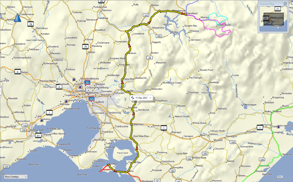

Time to head inland and actually aim to do part of our original trip plan. Today was basically another admin move from the coast up to Mansfield. Again the GPS was smart and didn’t send us through the outskirts of Melbourne, instead we spent a lot of time rolling through the hills. Actually today was one of those days you wished you had a nice V8 open top 2-seater and time to visit all of the wineries. Anyway….we were in a petrol Jackaroo lol
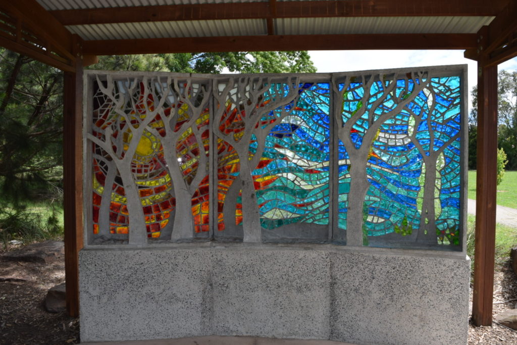
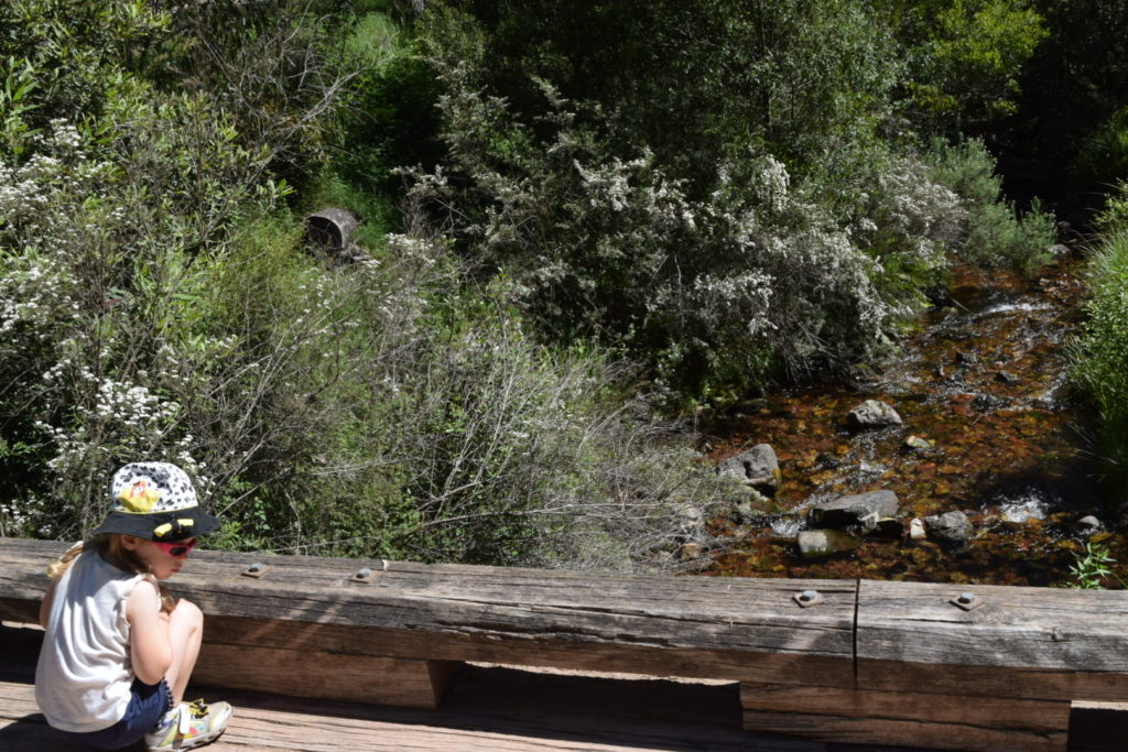
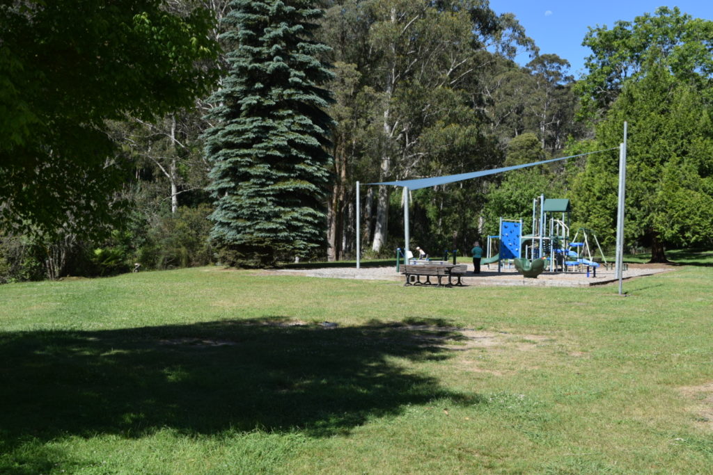
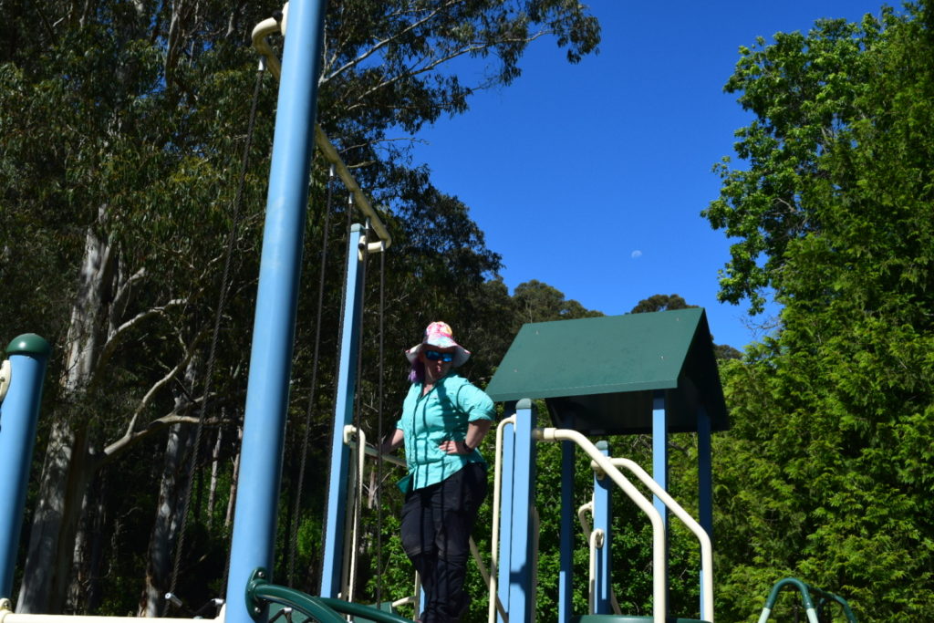
We took a longer stop at Yarra Glen where Ellie loved the adventure playground that was built after the 09 fires.


Yea provided a great opportunity to stop and have some lunch


I took the “shorter” route through to Mansfield and nearly got bogged at one stage when I had to move on to the side of the road to let vehicles through (oops)


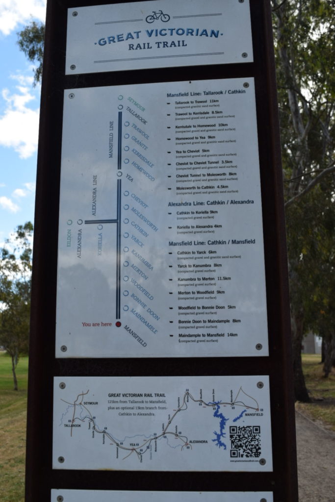
We are noticing that Victoria has turned a lot of their old railway lines into rail trails. Basically if you want to go and ride 100km’s on a bike through some pretty good country, then this is an option for you. From what we saw it looked like a pretty good setup.
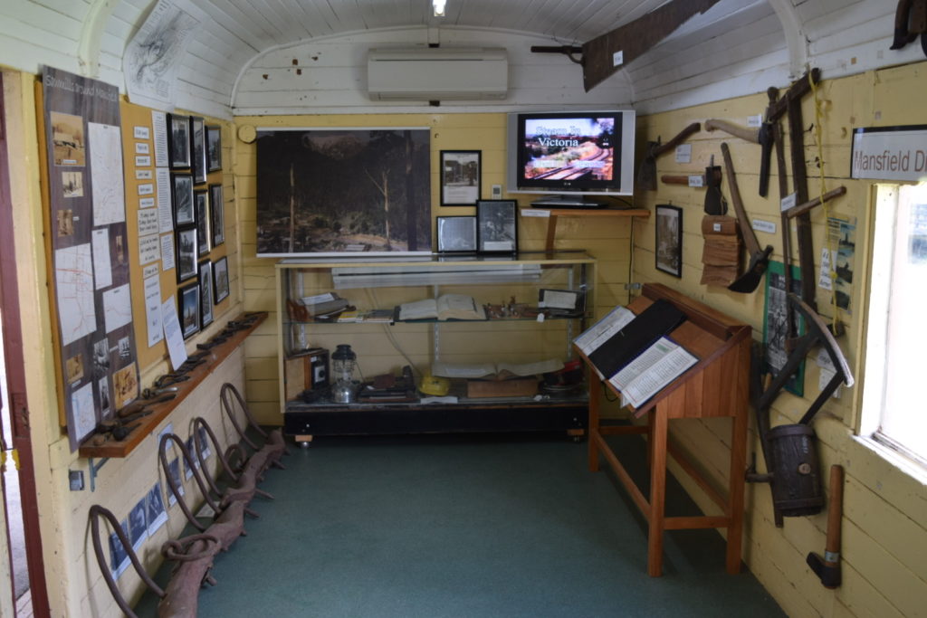
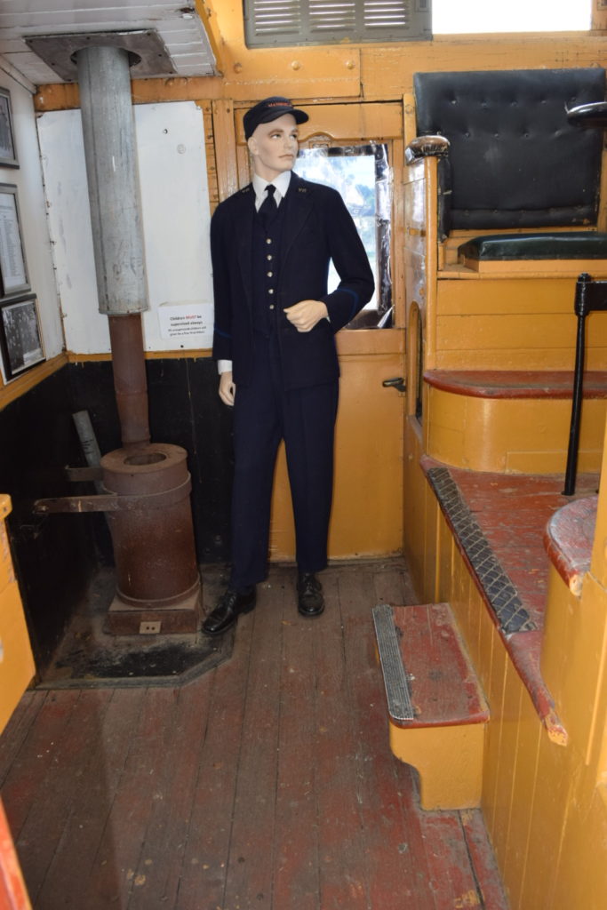
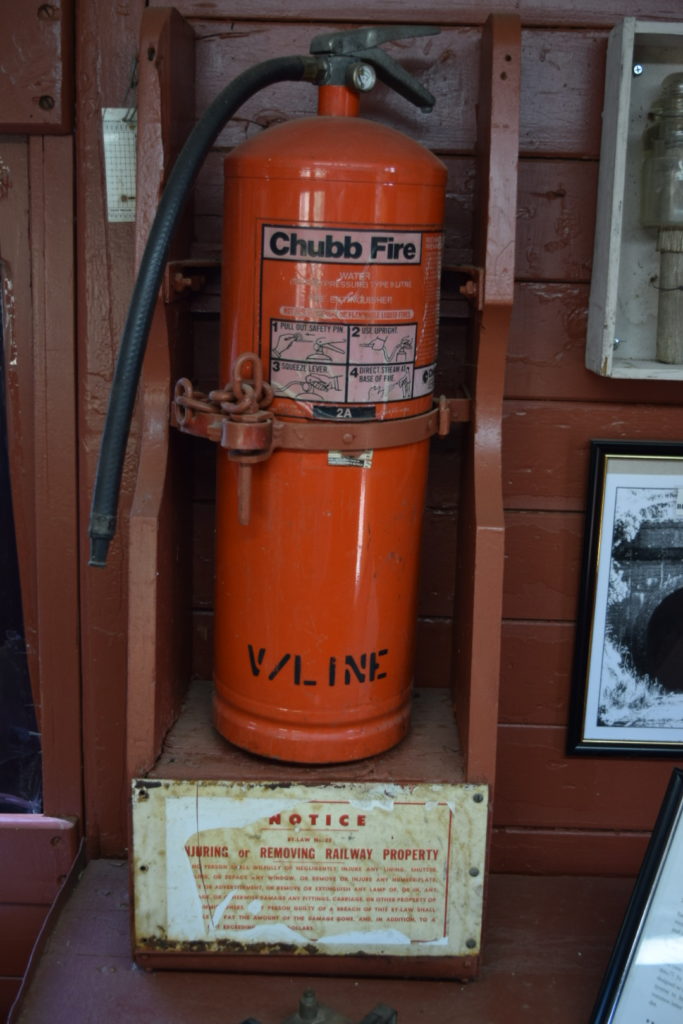
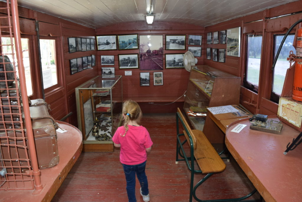
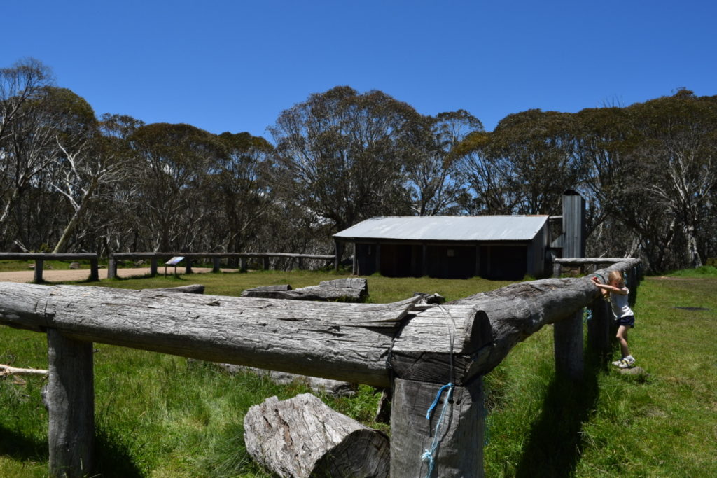
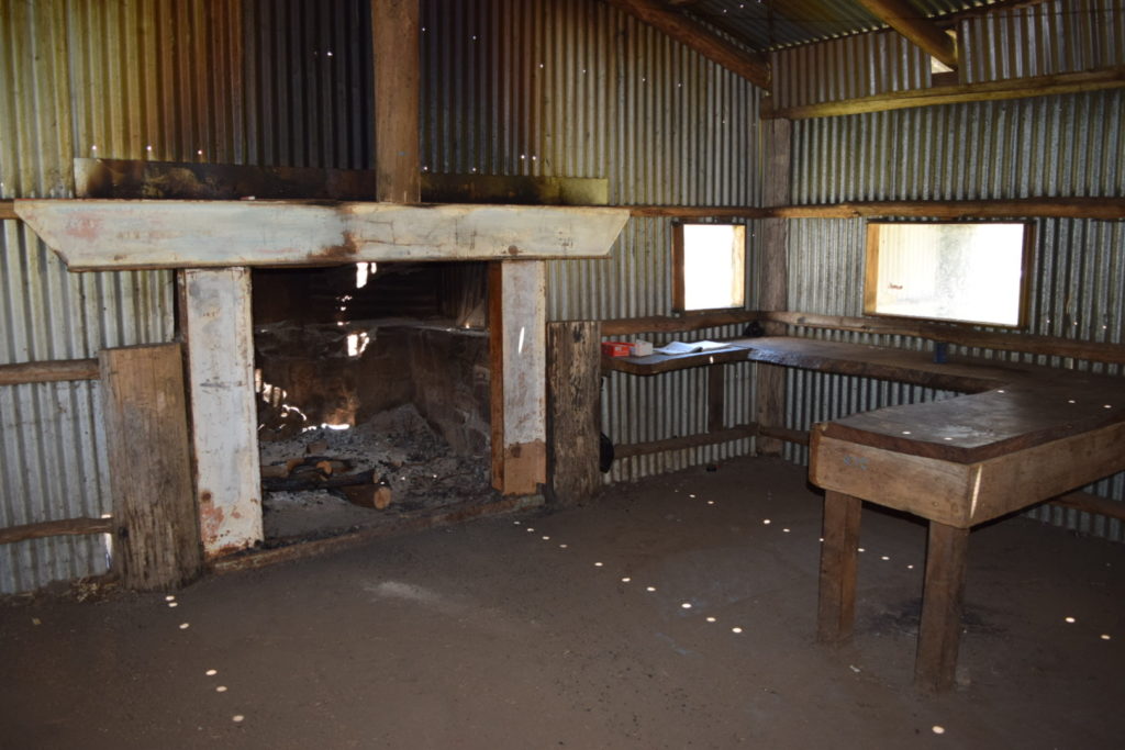
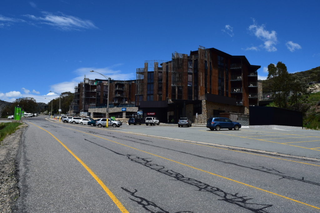
Arriving in Mansfield we stopped at the Visitor Information Centre and the Historical Display.


We cheated and grabbed an unpowered site at the caravan park. Ellie loved the crocodile heads as it reminded her of the crocodile in Peter Pan. This was to be our base for a couple of nights and thankfully the weather was looking good. It was easy to see that they had received a bit of rain over the last few days.


We did 283km’s with an average moving speed 60.9km/h. Climbed 2378 metres and descended 2034 metres.
Day 8


I had been promising Loryn some 4WDing so figured we better go and do a little bit (elevation map shows the story). Because we had setup at the caravan park it was a simple matter of packing up the awnings and heading out straight after breakfast.
I must admit that I was curious on how the Jackaroo would go through this terrain, in particular as it seemed to be lacking in power the further into the trip we got.
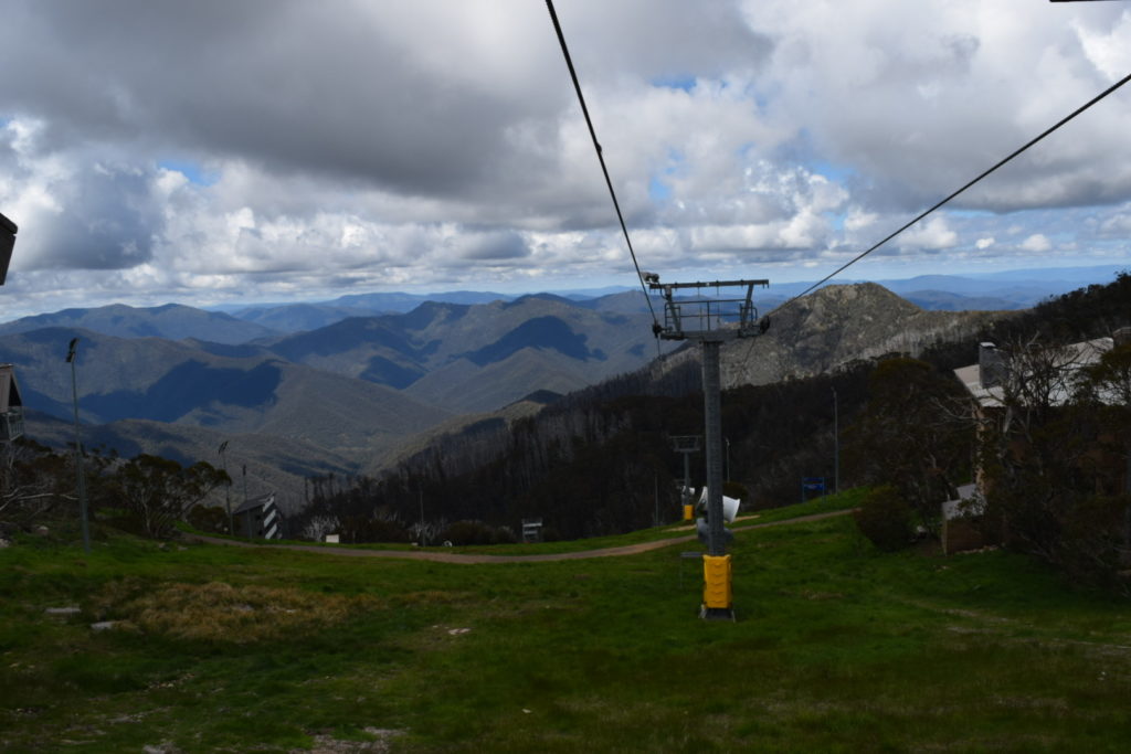
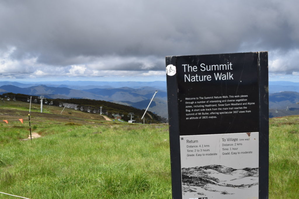
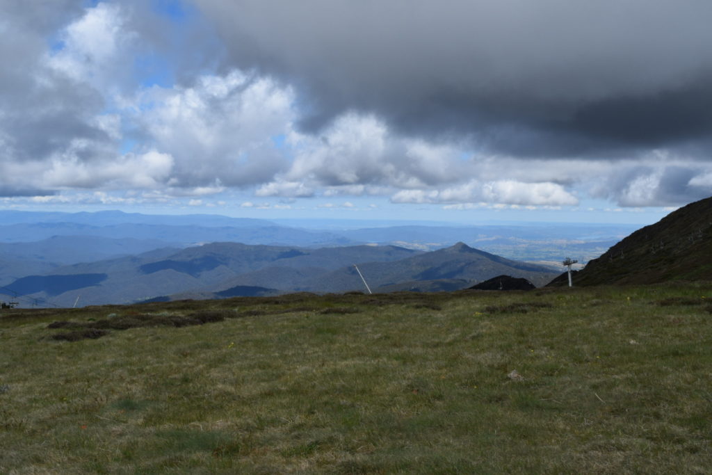
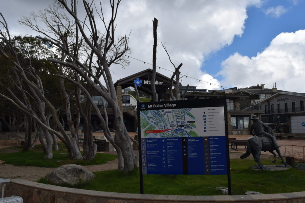
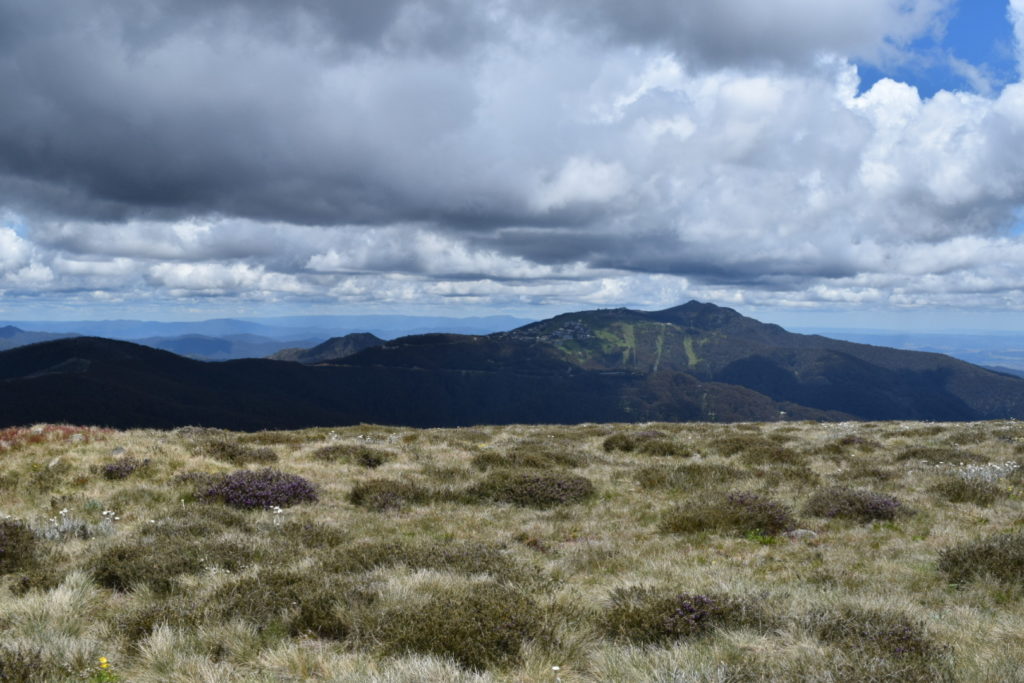
The drive through Merrijig up to Mount Buller wasn’t too bad at all. We stopped for regular photos and spent a lot of time in 2nd and 3rd gear, but really it was just a matter of taking it easy.


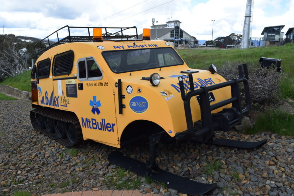
Did I mentioned bikes!!! Bloody hell that scene has exploded since I was last here. Road bikes running up and down the road (mad buggers) and mountain bikes doing downhill runs (now that looks like fun). It definitely looks like they now have a solid summer season option rather than just relying on a chance of snow in winter.
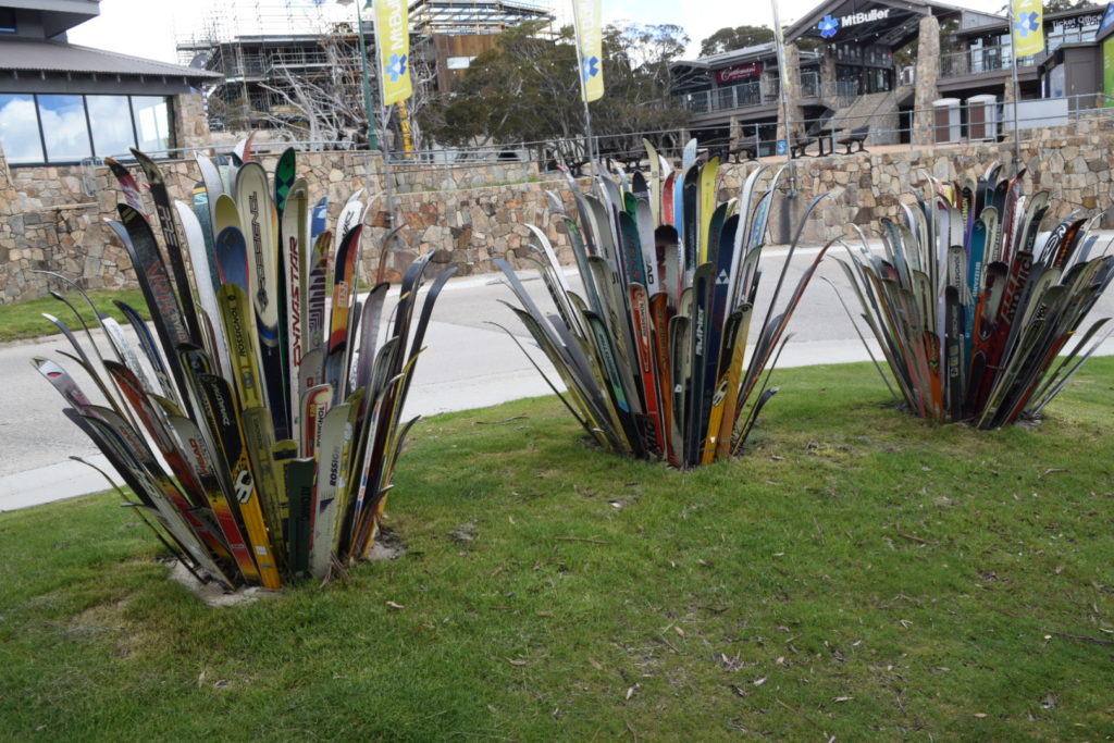
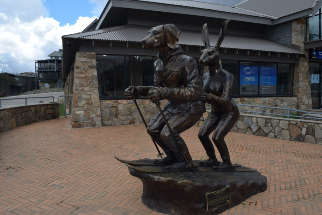
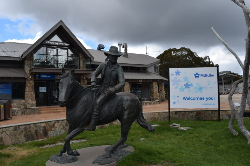
Anyway, lots and lots of photos will tell the story, but even in Summer it’s worth visiting
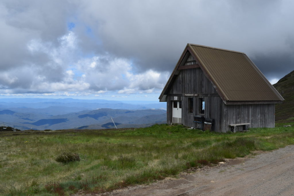


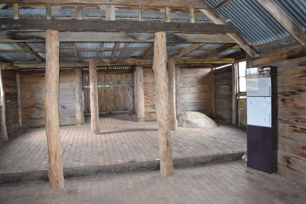
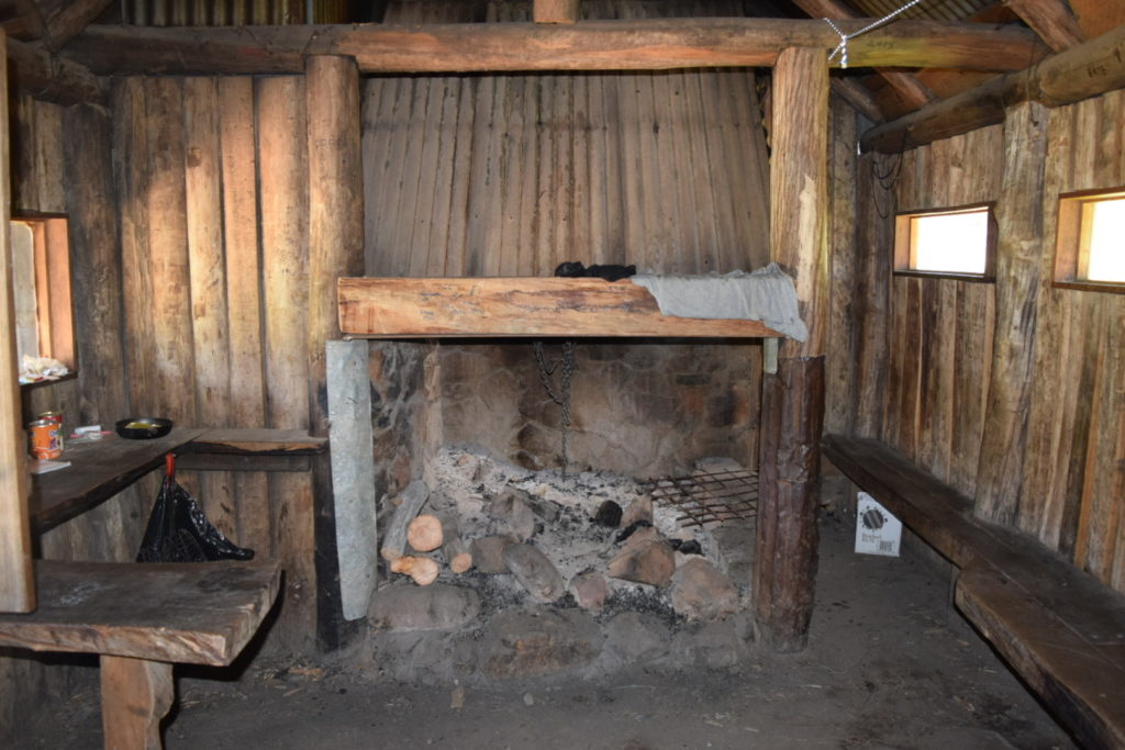
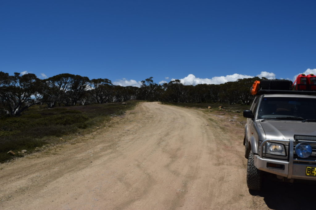
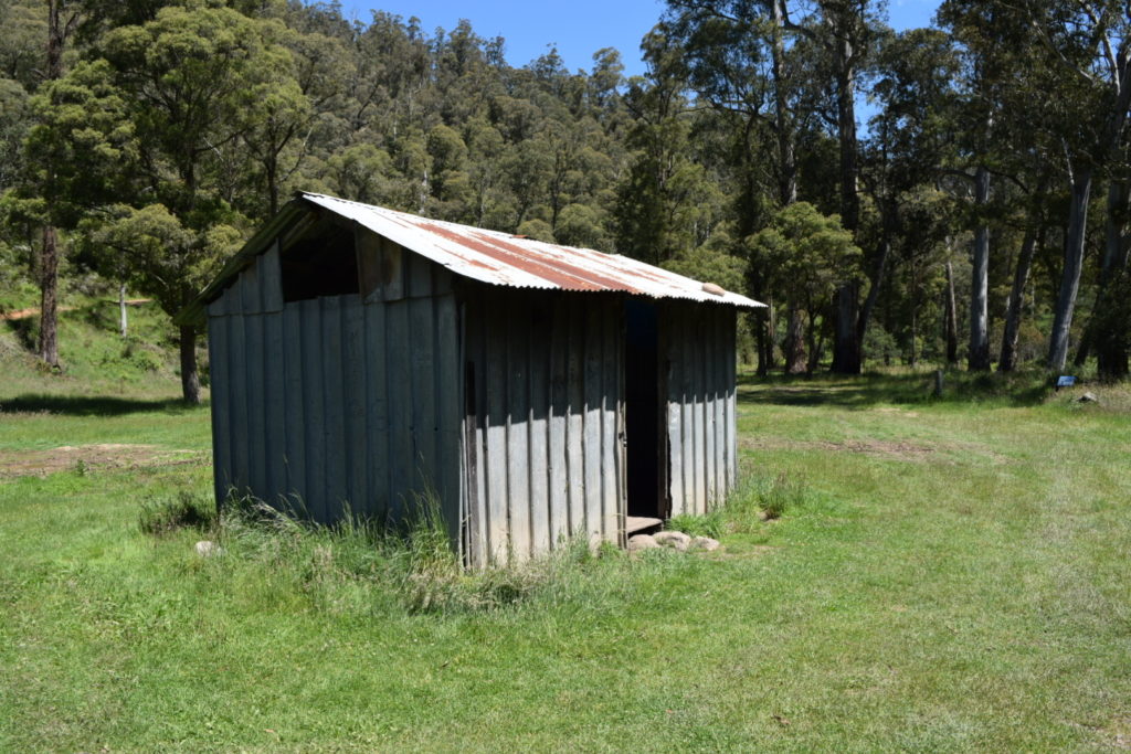
Time was slowly starting to get away from us so we figured we better get moving. I dropped the tyre pressures down to I think it was 25psi and we headed out. Turned onto Cornhill Road and flicked it into 4WD for the run across to Howqua Gap Hut


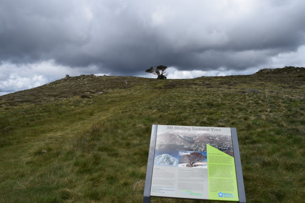
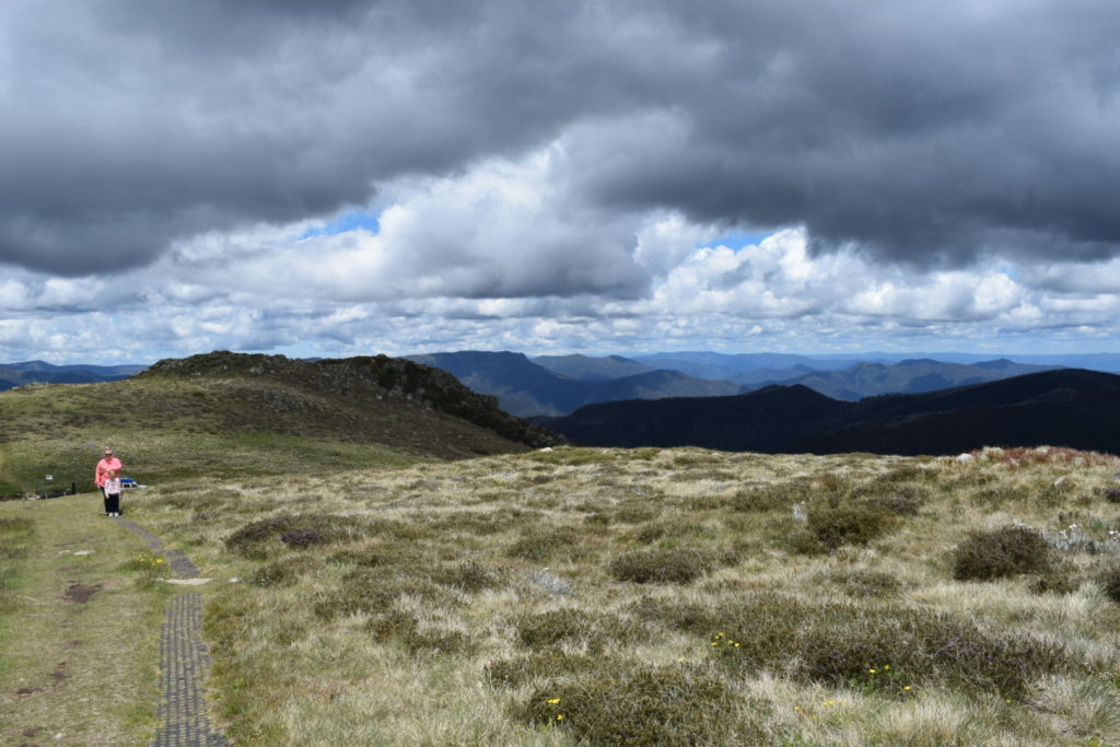
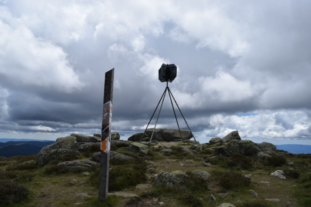
Flicked the car into low range and started the climb up Howqua Gap Trail to Mt Stirling where we parked and did the short walk to the summit (1,720m).


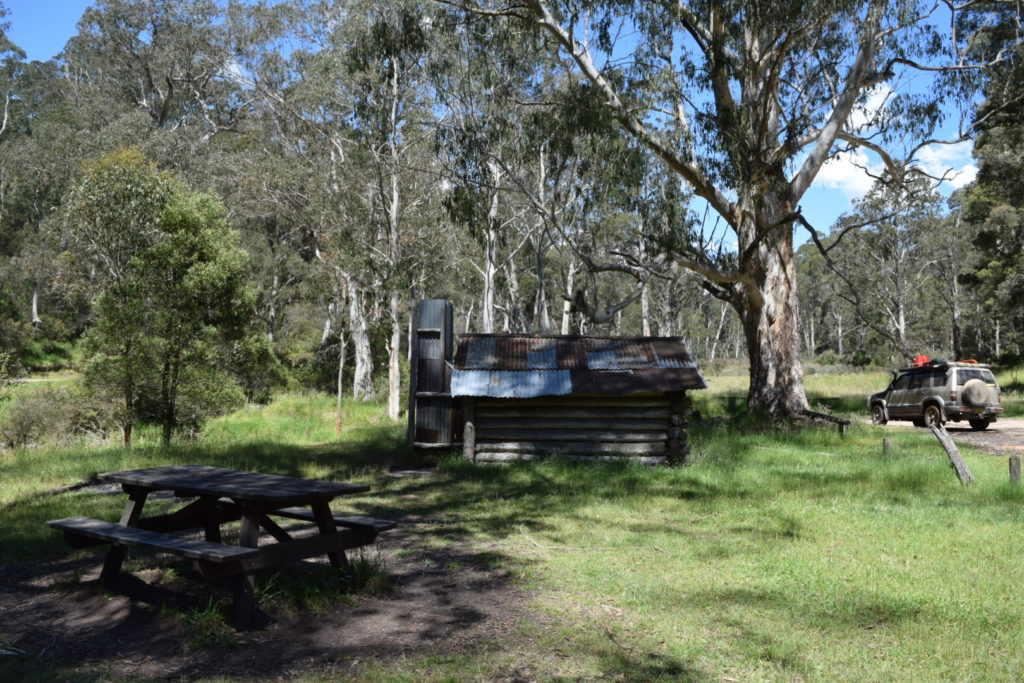
The run across to Craig’s Hut was fairly easy – basically just pottering along slowly letting the car do what it does. This made for a good, albeit late, lunch stop


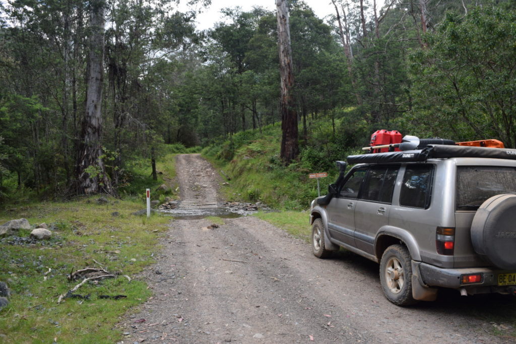
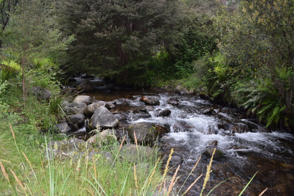
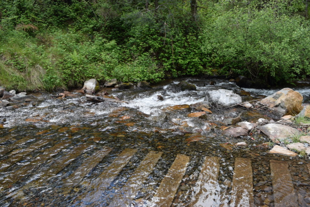
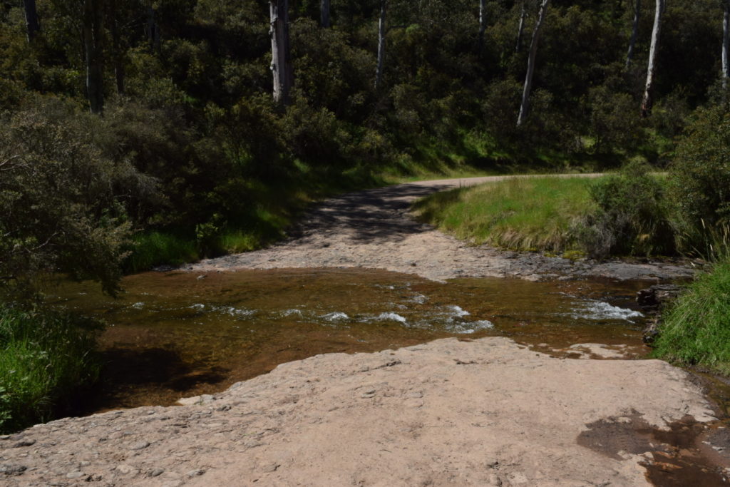
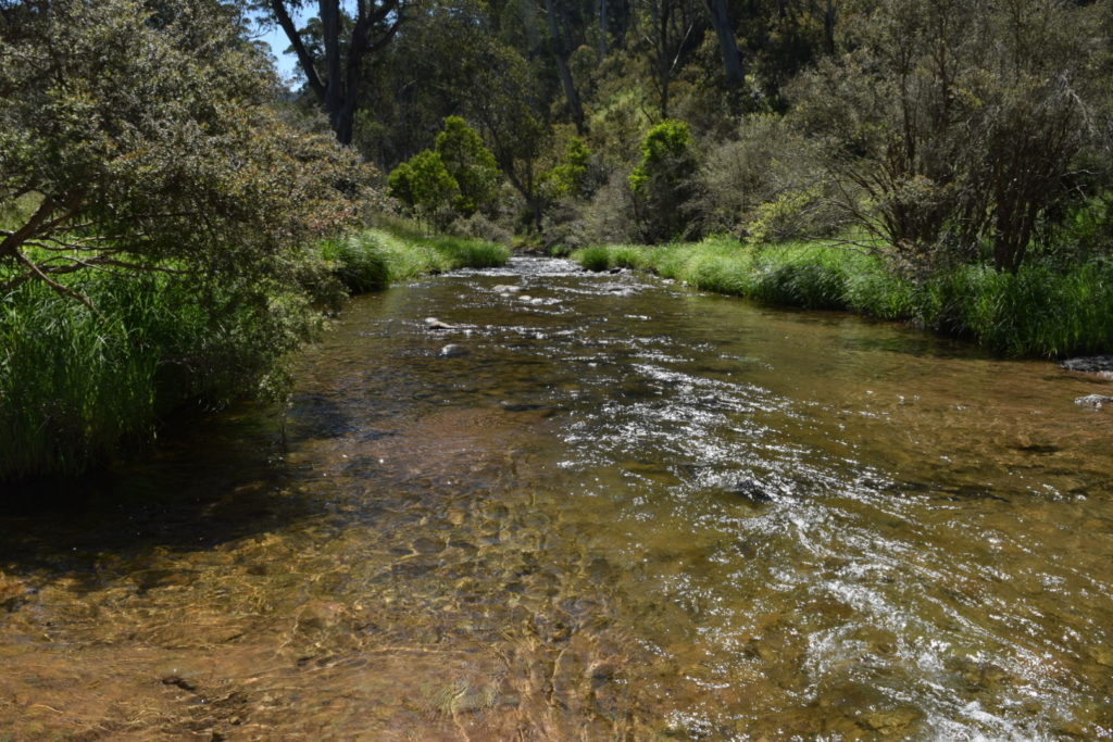
From there we went out to the Circuit Rd, flicked back to high range and wound our way down to Speculation Rd to the King River / King Hut. A change back to low range had us crossing the King River a number of times (King Basin Rd) with the level being about top of tyre. Again plenty of signs of recent rain.
A turn onto Weston Track had us climbing approximately 550 metres. Actually at one point I nearly had to do a stall recovery but got lucky. Second low managed it ok but I would have been looking for diff locks (if I had them) had I been towing. Not many photos as we had our hands full and Loryn was more worried about holding on than taking photos 🙂


A run across the top of Carters Road had us coming out on Mount Buller Road where we turned onto the bitumen for the short run back to Mansfield. Didn’t bother airing up as I knew what tomorrow would bring.


A nice swim followed by dinner had us falling into bed nice and relaxed. We did 153km’s with an average moving speed 28.5km/h. Climbed 3594 metres and descended 3545 metres. That’s more like it 🙂
Day 9


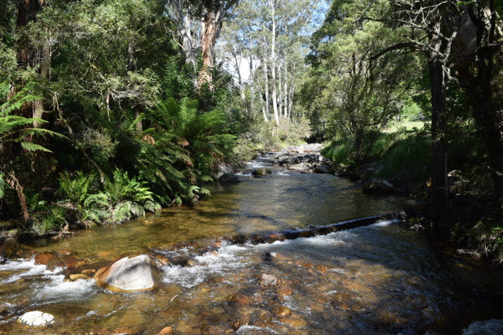
Another day trip out of Mansfield today albeit longer than yesterday’s jaunt. Again the elevation map shows the terrain that we traversed quite well. Off we headed back to Merrijig but this time we turned off onto Howqua Track, engaged 4WD for the gravel road and dropped down to the Howqua River for a stop at Sheepyard Flat.


The climb up Brocks Road was quite good all the way up to around the Cairn Creek Road turnoff. Well other than a couple of people thinking it’s a race track – obviously they weren’t too concerned by the drop off to the river!
Oh and we started to see more snakes – was perfect weather for them.


Up to this point an AWD like a RAV4 would have been fine. From this point forward though the track started to deteriorate and low range was required in a few places. Overall it wasn’t too bad but the erosion mounds would end up with lower vehicles having rampover issues.
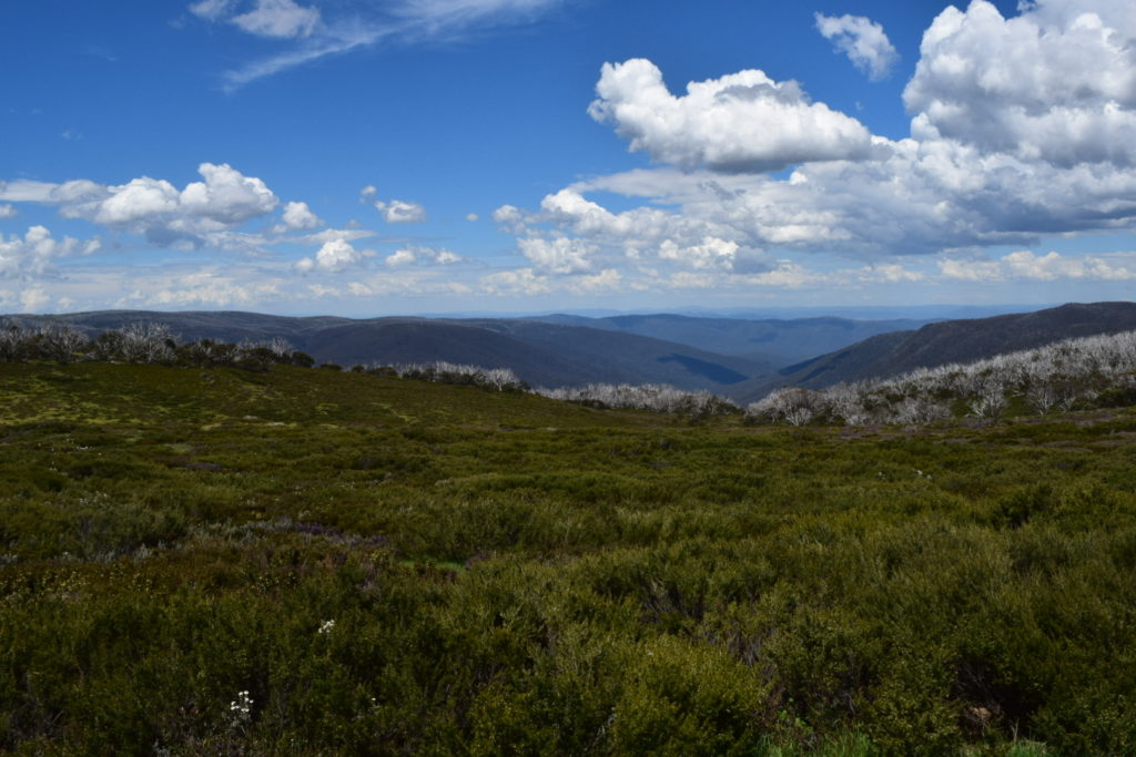
The effects of fire were clearly seen the further you climb (and has been for a while) with us eventually popping out at King Billy No 2. Of interest the Australian Alps Walking Track also comes out at this point and we ran parallel to it across to King Billy No 1.


A very small distance along Bluff Track had us pulling over to do the short uphill walk to Picture Point. The views along here are amazing but you do need to get out of the car and use your legs to see the best of them.


A stop at Lovicks Hut was also a good opportunity to have some lunch. It was disappointing to see the damage some idiots have done because they can’t stay on the formed track when it’s wet. As per normal a minority wreck it for the majority.


After lunch the next stop was Bluff Hut


So I managed to convince Loryn that now was a good time to have a drive. Loryn has a medium rigid licence and has completed off-road training with the NSW Rural Fire Service, but….. this is the VIC High Country 🙂
Anyway Loryn dropped down Bluff Track and onto Sixteen Mile Jeep Road for the run to Pikes Flat Hut. Most of the run was in first and second gear low range and she dropped approximately 1,000 metres in elevation through the drive. Oh and did I mention the rocky creek crossing as well.


I offered to continue in the passenger seat but I was advised politely that I could have the drivers seat back 🙂 All jokes aside Loryn did a bloody good job considering the challenge of never driving in this area before.
Anyway we headed out on Upper Howqua Road across to Bindaree Hut. Wasn’t a bad run but still low range.

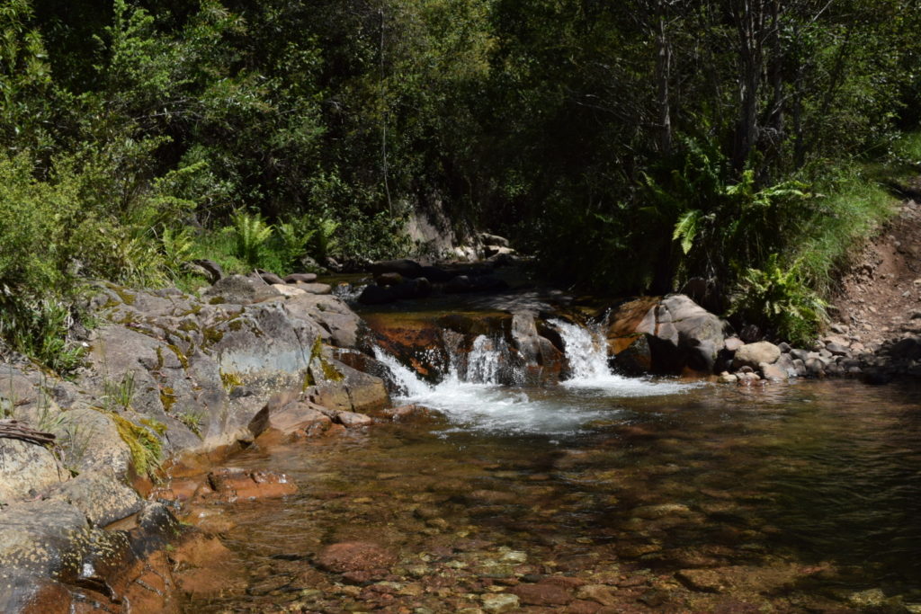
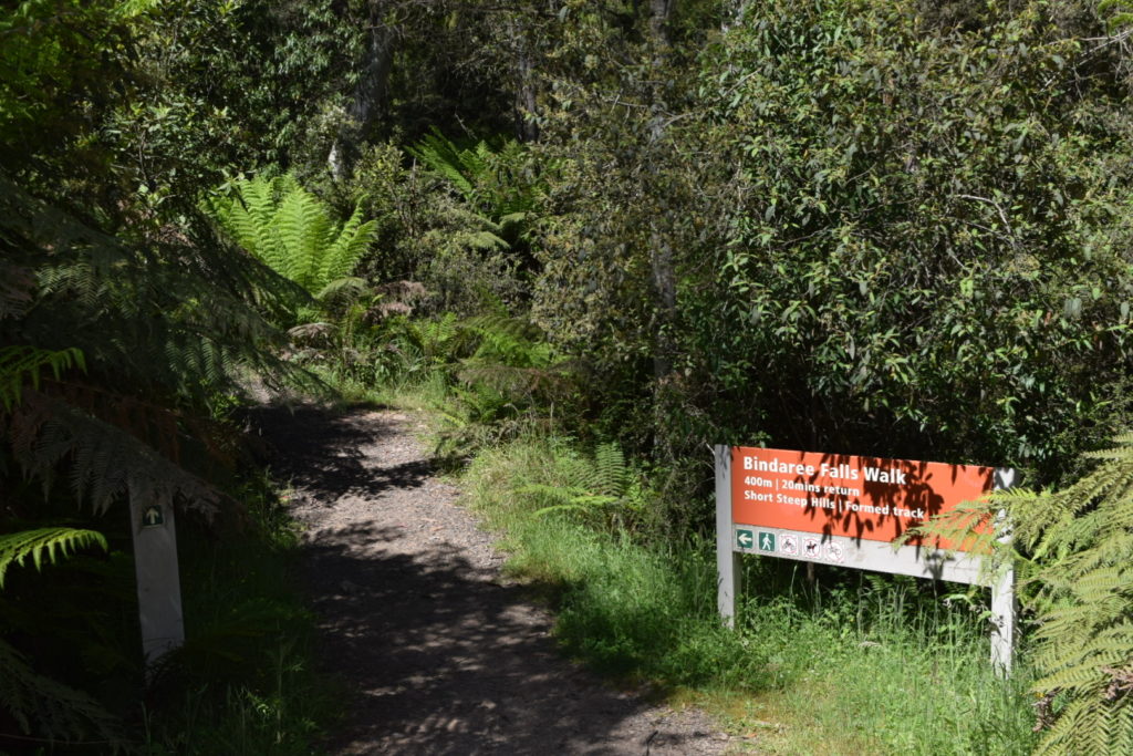
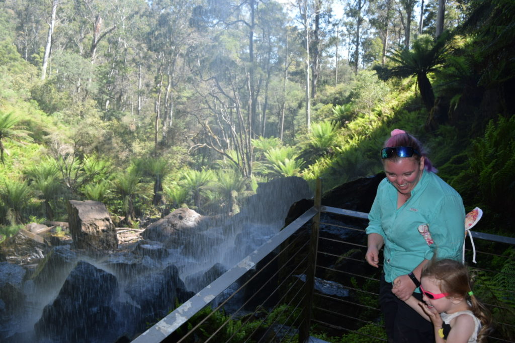
Bindaree Road again had us climbing slowly, albeit back in high range 4WD. The Bindaree Falls are always worth the walk


From the falls we kept climbing up Bindaree Rd, turned onto Circuit Rd until we arrived back at Picadilly Circus where we were yesterday (next to Howqua Gap Hut). Again it was an easy high range 4WD run that could easily be run in an AWD.
Today we continued along Circuit Rd past Telephone Box Junction onto Mount Stirling Road. This road ends up meeting Mt Buller Road at the Mirimbah park and playground, which provided a perfect opportunity to stretch the legs and for Ellie to experience yet another playground 🙂


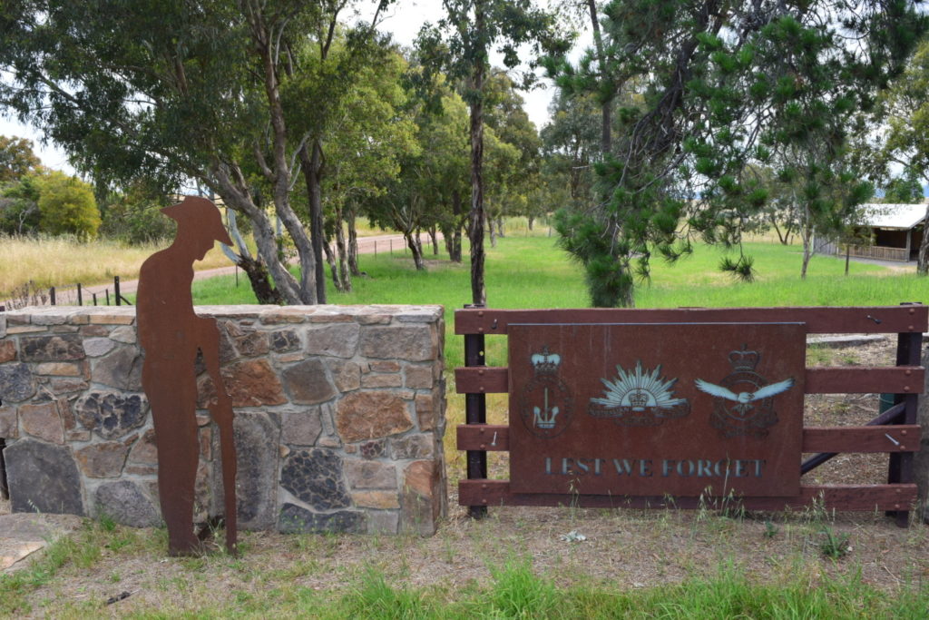
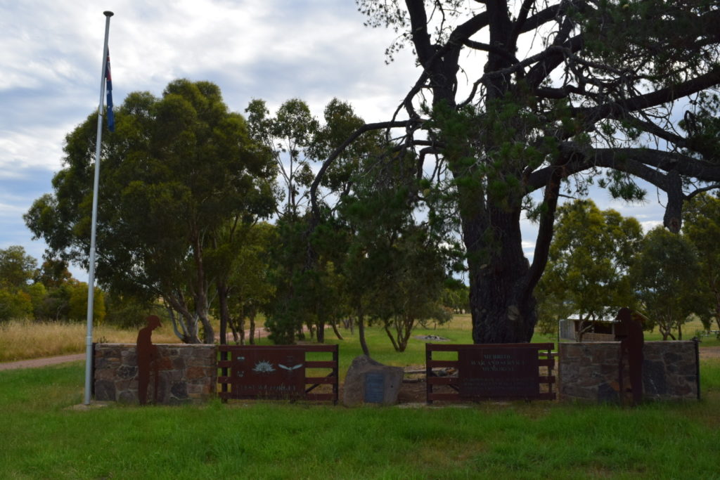
We stopped at the Merrijig Memorial on the way back to Mansfield

Loryn and Ellie went for a swim whilst I headed into town to fuel up, give the car a quick tub to wash the dust off and grab a pizza. Talking of which – the pizza in Mansfield is right up with the best I have had. Yummy!!!
We did 183km’s with an average moving speed 27.2km/h. Climbed 4262 metres and descended 4248 metres. I think it was a tad “hilly” 🙂
Day 10
We did have a plan, then the weather forecast started to become a factor. So we made another plan involving camping down on the Cobungra River (Anglers Rest). Then the weather wrecked that as well. And do we made a new new plan. And it hailed on us at Hotham Heights. So it became a big day, and we had the time of our lives 🙂
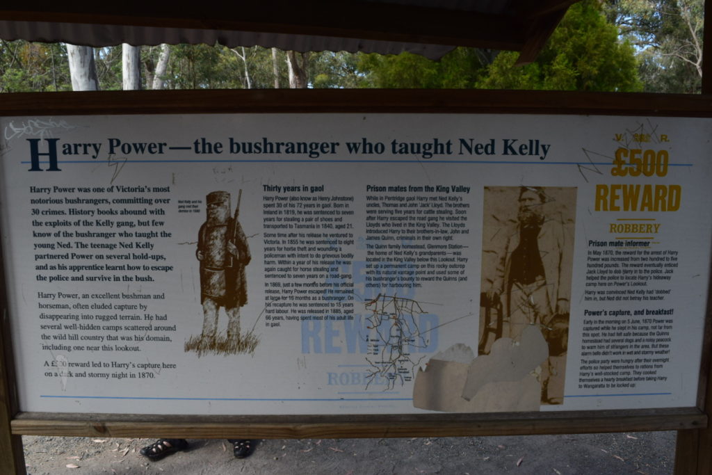
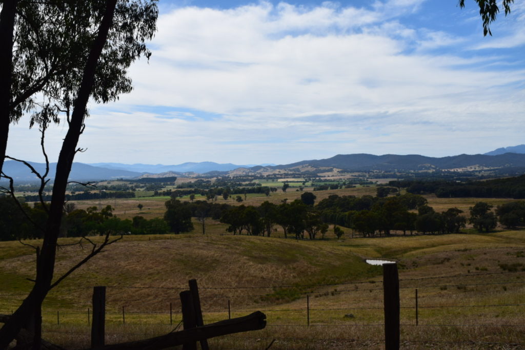
Anyway, let’s backtrack a little. Takeaway coffee was the first stop after packing up at a place called The Witches Brew Cafe. We headed out of Mansfield on the Whitfield Road before stopping at Powers Lookout, named after a bushranger (normal for Victoria)


We continued on taking the “shorter” route again through back roads eventually coming out at Myrtleford, where I dropped Loryn & Ellie off at the playground whilst I did some quick shopping.


So on our drive into town Loryn was kicking herself as she has a friend that lives here, and because our plans had been so fluid she hadn’t considered organising a catch-up. I did the whole sympathetic ear thing (as us males understand) and didn’t think any further of it.
I arrived back to the playground to pick up Loryn and Ellie, and Loryn was chatting to a lady at the time. I’m thinking it’s another Mum so I say g’day and then ask Loryn if she is ready to head off. Of course as you are all thinking, yep it was Loryn’s friend. Loryn had phoned her and was lucky enough to catch up quickly, but didn’t think to tell me. So didn’t I look like a bigger dick than normal 🙂
Anyway after extracting said foot out of mouth we headed out for the slow climb up Happy Valley Road before turning onto the Kiewa Valley Highway and climbing up to Bogong for some lunch. Again those crazy buggers on bikes started becoming a highlight – I can understand downhill, but uphill is nuts!!!


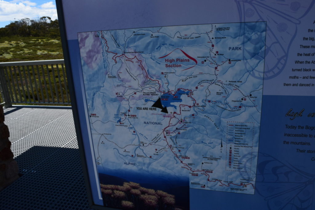
Continuing to climb we headed up to Falls Creek and the Rocky Valley Dam


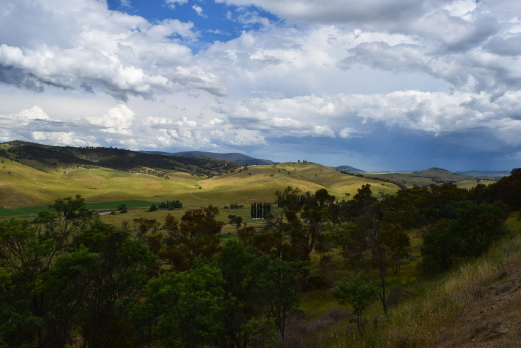
We stopped a number of times between Falls Creek and Omeo. The drop down the hill is still as good as I remember, and again I’d love to have been in a nice little 2-seater open top V8. Beautiful country and great driving roads.


We had been very fortunate with the weather up to this point and debated what to do when we got to Omeo. It was late afternoon with the forecast saying it was about to take a turn for the worst. We decided to keep going through to Bright as we couldn’t see the point of driving over the top of Dinner Plain tomorrow in crap conditions.
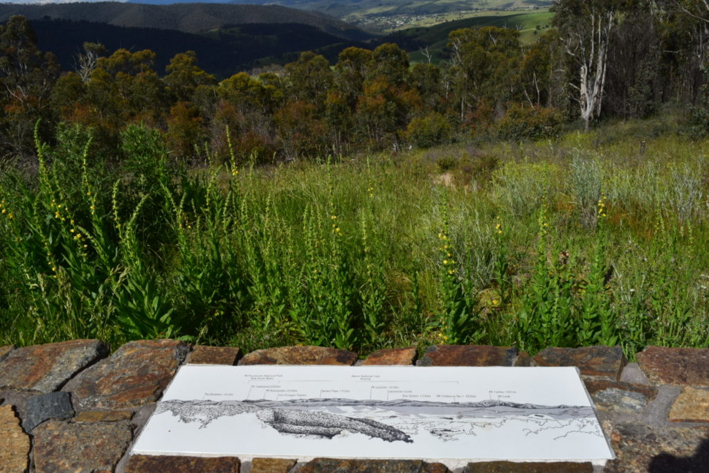
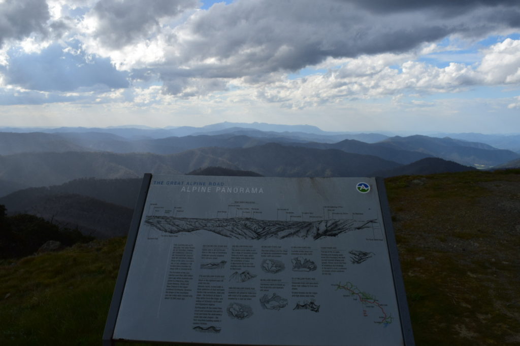
The car got quite warm climbing up out of Omeo – in fact I ended up down in second gear as it had no more go in it. It didn’t overheat or boil but just piked my interest. Anyway we stopped at the Kosciusko Lookout for a few photos


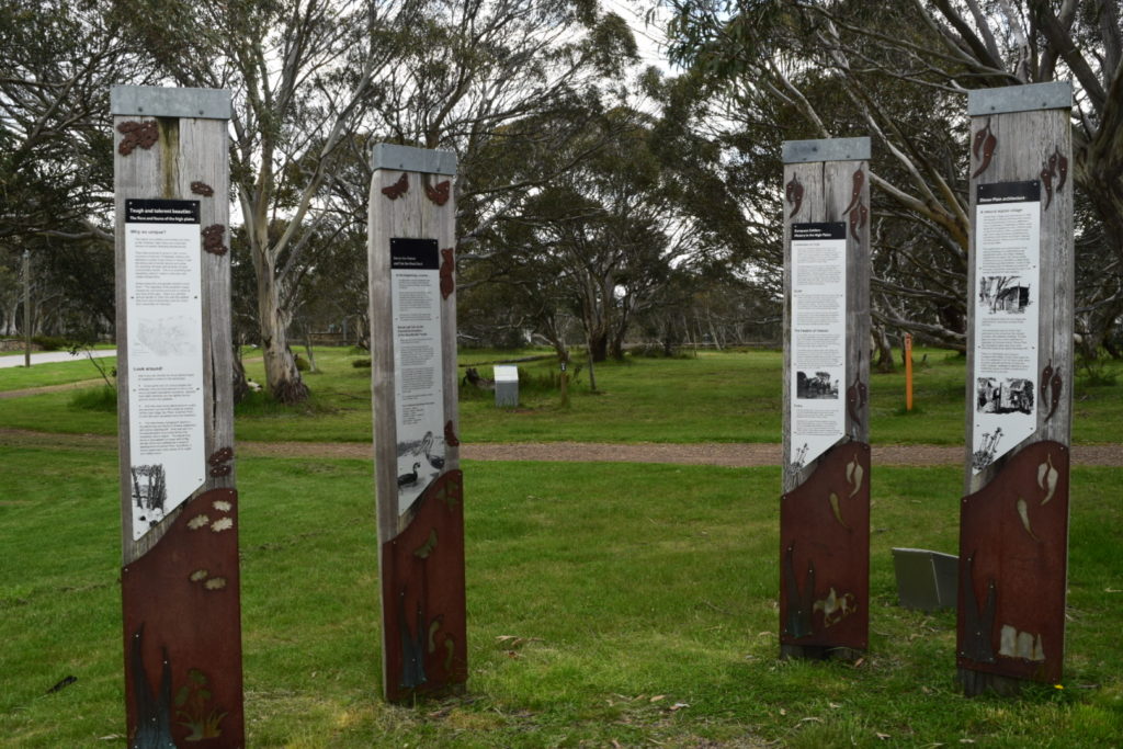
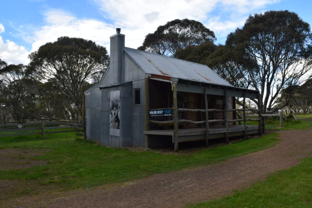
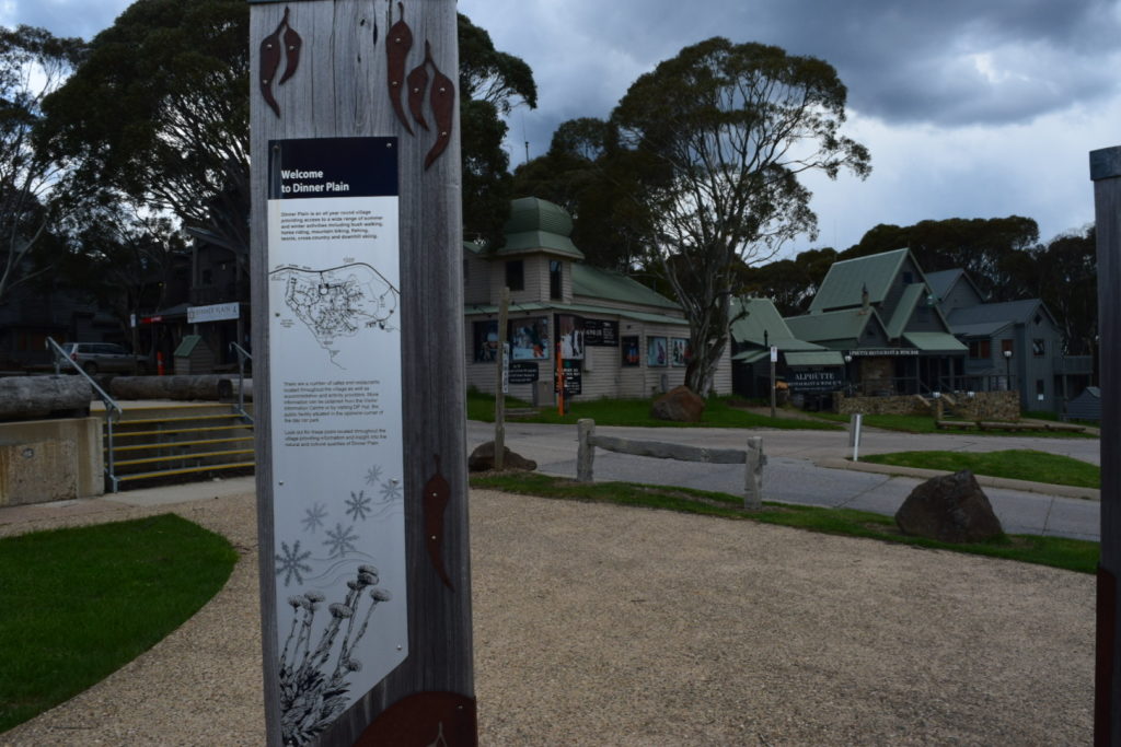
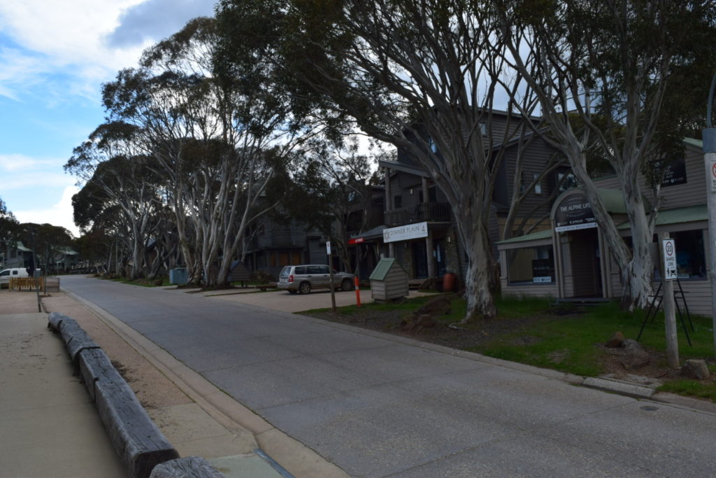
We headed past Mount Hotham Airport before pulling into Dinner Plain for a break

On to Hotham Heights we went with the weather closing in on us quick. Please excuse the darker photos, I didn’t get it right with the camera


The run down the hill to Harrietville was particularly interesting with rain, light hail, sunshine, wind, rain etc. The car was squirming in places and that was in second gear under engine compression. Oh well, hindsight is always wonderful and sometimes places like this are appreciated more in bad weather.
Talking of which we arrived in Bright to perfect weather after sorting out a motel room for the night. Oh well – I know we enjoyed the chinese takeaway and no child in our bed either way 🙂


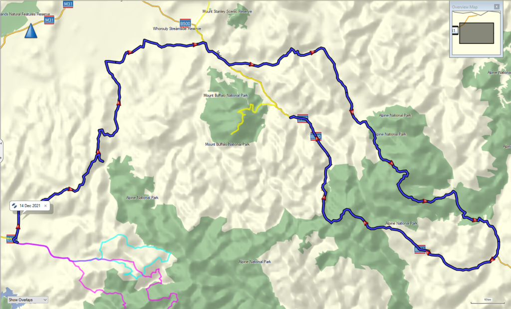
We did 431km’s with an average moving speed of 52km/h. Climbed 5975 metres and descended 5971 metres. Bloody crazy the amount of gear changes I did today lol